Rising just high enough for an entry-level taste of altitude and only 90-minutes from Christchurch sits Mt Alford.
It’s a worthwhile day hike with the easy track rising gradually through regenerating beech forest and up through steeper sub-alpine tussock to the 1171m summit.
The track passes through several stretches of privately-owned land, to be respected equally with the scenic reserve. Private easements like the one on the Mt Alford Track offer a great example of local land owners helping share wilderness areas that would otherwise be isolated.
The opening portion of the track rolls through a frosty, damp forest with a few small streams carving their way towards their bigger, braided cousins on the plains.
After moving out of the lower portion of the scenic reserve, the view opened up from between the trees to reveal the first look at the expanse of the Canterbury Plains, but on this day, overcast clouds hid the Port Hills. This middle section of the track rises more quickly and is mainly through private paddocks. After squeezing through a few gates and working my way back onto conservation land, I found a picnic spot complete with an old table and the first view of the inland mountains across the North Branch of the Ashburton River.
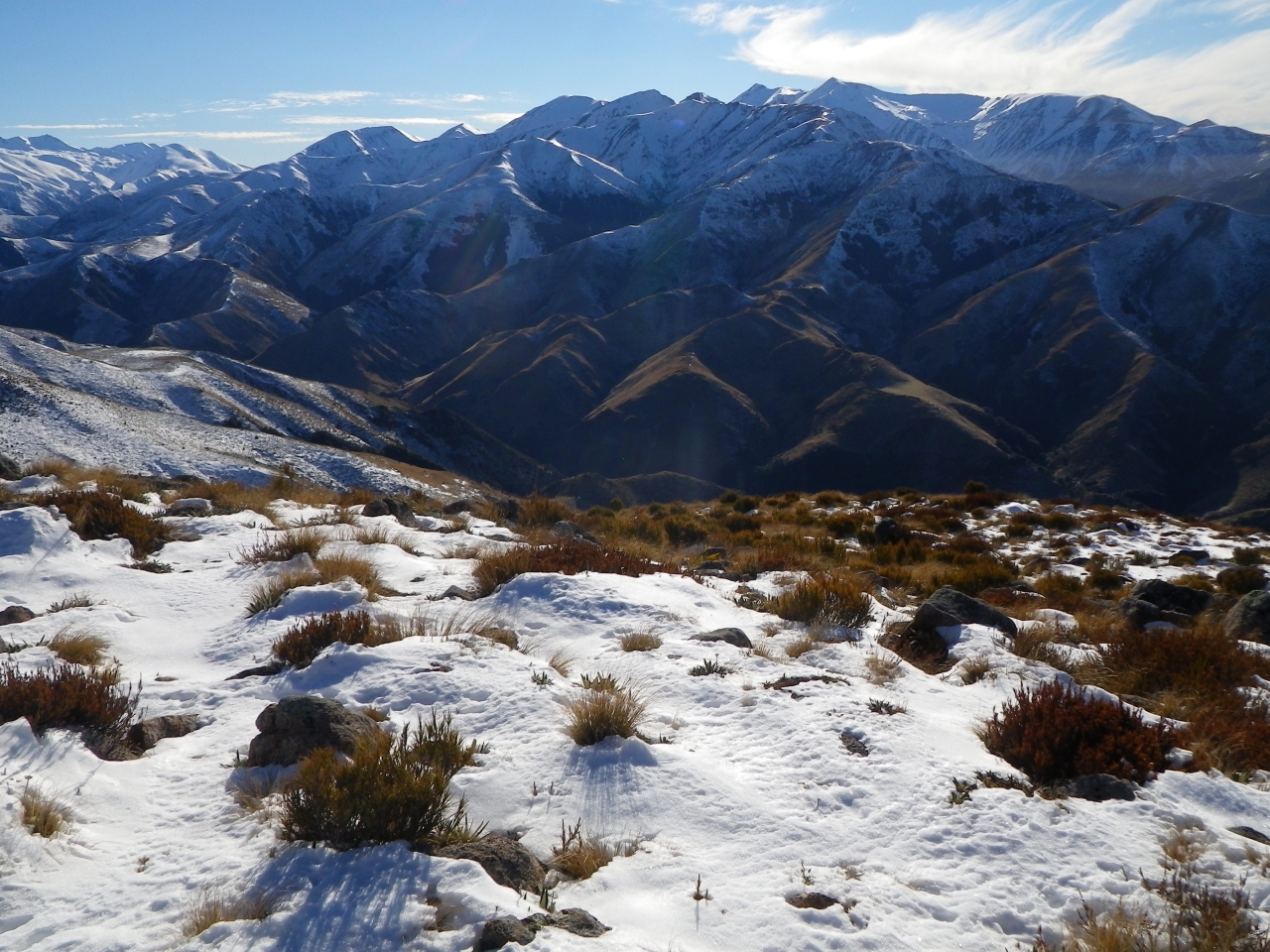
The track then climbs at a steeper rate, and, when I was there, much of the ground and trail were covered in snow. Most of the tussock was still exposed to the sunlight and the path was icy in only a few places.
The summit supports more tussock with a few larger rocks big enough to stand on for an extended view along the Alford Range into the alpine peaks beyond. Mt Alford seems inviting, although offering more difficult and technical alpine routes that wind through the rest of the Canterbury side of the Divide.
The Mt Alford Track shows the benefits to scenic reserves and previously logged, regenerating forests that may have been given up on in the past. The presence of wildlife adds a bit of interest and reminded me to pay a little more attention in hopes of a close encounter.
It is a testament to public-private cooperation and left me satisfied with the day and wanting even more wilderness all at once.
– Kendrick Chittock
Access: End of Alford Settlement Road
Grade: Easy
Time: DOC Time 3hr to summit, (likely less depending on person/group)
Distance: 4.26km
Total ascent: 723m
Map: BX20

34 years of inspiring New Zealanders to explore the outdoors. Don’t miss out — subscribe today.

Questions? Contact us


