You have 5km of desert-like terrain to cover before reaching the base of Tonga Hill’s south-east ridge. Fortunately, the walk in is along the start of the St James Cycleway mountain bike track, so the going is quick and you’re soon fording the small but swift Edwards River to reach the base of the range.
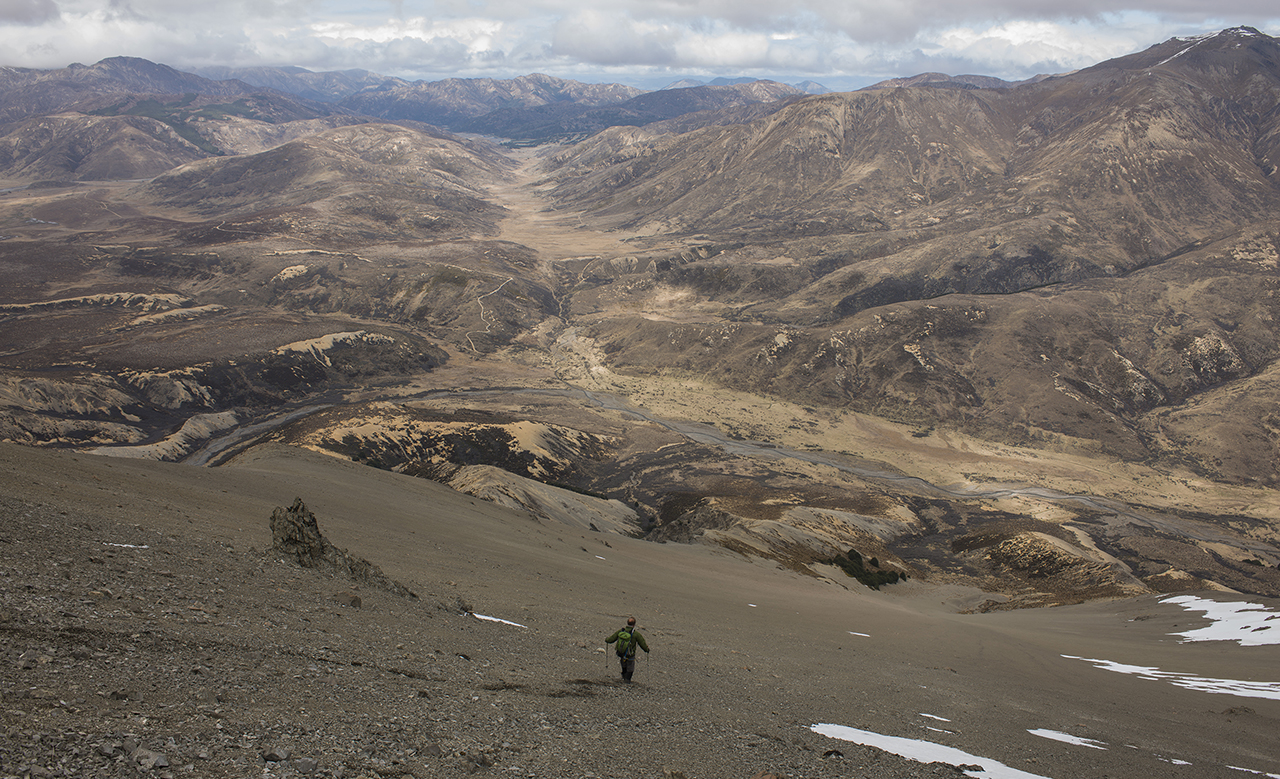
From here on it’s slog time: an 800m ascent spread over 3km of rough and sometimes steep ground to reach the top of the hill. Peak names, such as Mt Sadd and Mt Horrible are a good fit for the landscape, which is bleak, inhospitable, and barren.
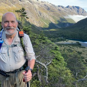
That of course is the nature of much of this portion of the region, bordering the southern end of Molesworth Station and taking a regular beating at the hands of the ubiquitous norwester, the result being a rather tired, even sad, landscape. For all that, it is still powerful and evokes feelings of insignificance amid the power and raw beauty of nature.
Descend the broad south face of Tonga Hill, straight down the long scree slope, cross the Edwards River and join the track again. Rather than taking it all the way to the car park, you could detour, as shown here, to Edward’s Pass proper and to beneath Samoa Mound until reaching Horrible Stream, which you can follow back to the car.


34 years of inspiring New Zealanders to explore the outdoors. Don’t miss out — subscribe today.

Questions? Contact us