
This trip begins in the most exciting way possible: walking across one of the country’s highest and longest suspension bridges.
The bridge over the Waiohine River is 124m long and hovers 40m above the rocky riverbed. For someone like me who suffers vertigo, it provides a thrilling start to this three day loop to Cone Hut and on to Tutuwai Hut in the Tauherenikau Valley.
The track to Cone Hut begins with a short, sharp, heart-cranking ascent but once the ridge is reached there is airy beech forest with surprisingly dry ground underneath. About 800m before Cone
Saddle, a steep track drops straight down to Cone Hut. It’s a mercifully brief descent though and the historic Cone Hut, the second oldest in the Tararuas, is overflowing with character.
I had slightly more luxurious surrounds in mind, however, so I pressed on.
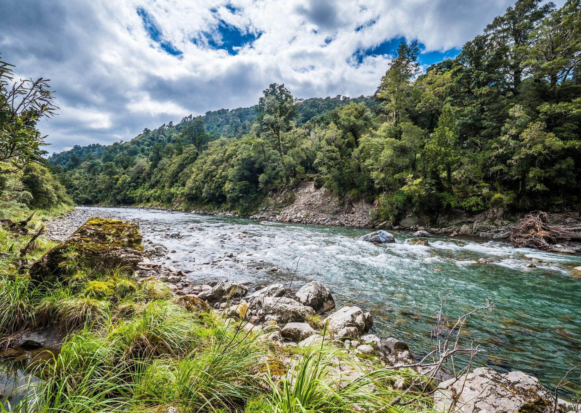
The trail to Tutuwai Hut runs beside the enticing Tauherenikau River and is a relaxing and easy walk.
The next morning played out in reverse with an equally pleasant stroll back up the valley in morning sunlight to Cone Saddle. From here, it’s a serious ascent to Cone, 1080m, punctuated by a variety of scrambles around some quite substantial windfalls.
The bush ends abruptly at the familiar tussock tops of the Tararuas. This day was bathed in sunlight, between cloud piling up on the ridges to the west and showers in the Wairarapa to the east. A swampy tarn beckoned as a lunchtime spot, and then it was into the twisted goblin forest on the knife edge of Cone Ridge. The trees helped conceal how precarious the slope was, and kept any feelings of vertigo at bay long enough to reach flatter terrain.
Beyond the turn-off for Neill Forks Hut things go rapidly downhill as the track sheds contour lines with relish. Goblin forest gives way to beech forest, and the rush of the Waiohine River competes with the wind. My knees had had enough by the time the bush spat me out on the grass clearing occupied by Totara Flats Hut. Where Tutuwai Hut is old-school plush, Totara Flats has all the latest mod-cons, and I had the entire palace to myself.
The last day was a wonderful walk through the wide open spaces alongside the Waiohine River under a blazing sun, until the track led into familiar mixed podocarp forest and across a series of delightful side streams, eventually ending where this trip began at the Waiohine Gorge Road end.
In three days of huts old and new, beech and goblin forests, tussock tops and river flats, I’d forgotten just how high the suspension bridge is.
– Andrew Burfield
34 years of inspiring New Zealanders to explore the outdoors. Don’t miss out — subscribe today.

Questions? Contact us


