Home / Trips / Waikato

Tararu Track to Crosbies Hut, Coromandel Forest Park

Image of the January 2019 Wilderness Magazine Cover Read more from the
January 2019 Issue

A short bush slog to one of the upper North Island’s best huts, the Tararu Track provides an achievable weekender in Coromandel Forest Park.

The Tararu Track is the shortest of nine trails that lead to Crosbies Hut, which sits in a clearing 620m up the Coromandel Range. Starting at 240m, the track also cuts out a decent chunk of the climb, making it a good option for a weekend dash.

The track first goes through private farmland and manuka scrub. After about 15 minutes, it crosses Tararu Stream and heads into Coromandel Forest Park proper. Birds abound here and a network of stoat traps lined the trail.

The track follows the cascading stream, passing numerous fern-lined swimming holes.

Soon the stream is left behind and it’s a steady climb to reach a ridge at 600m where a viewpoint reveals the heart of Coromandel Forest. A large slip has gouged away the head of the valley and a dense mat of ponga shows how rapidly the forest regenerates here.

The track follows the ridgeline for 10 minutes until reaching the junction with the Karaka Tramping Track, a popular day walk. The Karaka Tramping Track continues along an undulating ridgeline towards Crosbies, but it’s mostly flat walking from here.

The wide track is a former access road to the historical Crosbies Settlement and can be extremely muddy, with some pools resembling quicksand. By tip-toeing along the verge of the track, we managed to avoid the worst of the mud.

Tararu Stream is punctuated by swimming holes. Photo: George Driver

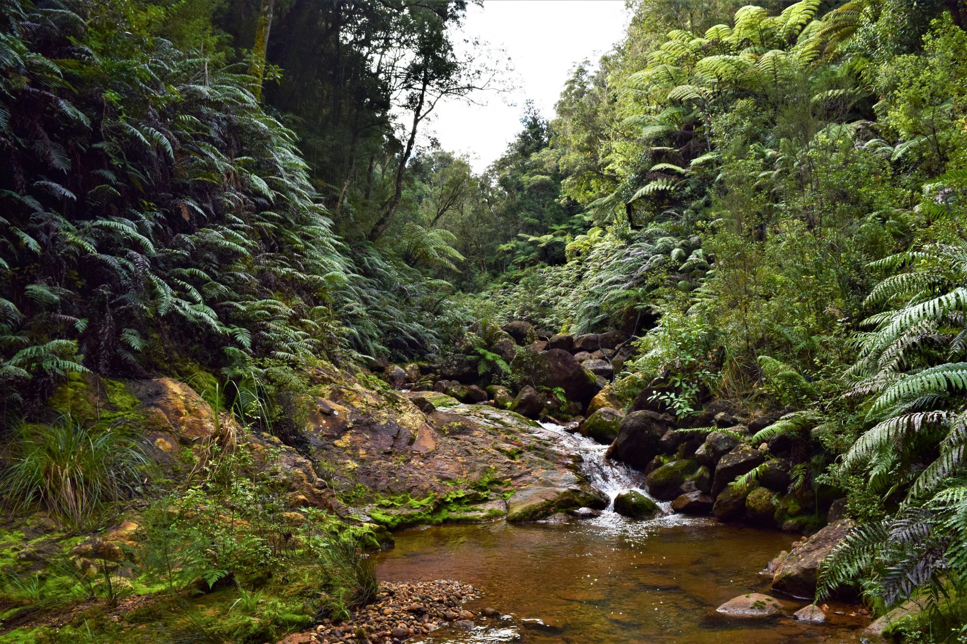
After an hour, the track reaches the junction with the Wainora Tramping Track and climbs to Pt646 before descending to the turn-off to Crosbies Hut, where there’s one last muddy scramble to reach the hut.

Crosbies Hut offers an incredible panorama that stretches from coast to coast. To the east is Table Mountain, north-east is Whitianga and Mercury Bay, north is the incredible volcanic spire of Papakai (759m) and to the west is the Firth of Thames.

A few well-placed picnic benches provide an excellent place to park up and take in the surrounds.

Built in 2010, the hut is modern and relatively luxurious, with a fire, wood-lined interior, large benches and a dining table, and two tiers of benched bunks. It also has a large deck and big windows to make the most of the view.

The hut also has a separate area with formed campsites on raised wood chip beds.

The site was once a farm settlement, which was established in 1880. There are still old fence posts and an old woolshed, as well as pine forest stretching into the native bush. The settlement was abandoned in 1926, but attempts at farming continued into the 1960s before the land was left to revert to bush.

Spending a night at the hut, the clouds whistling over the ridge, you can understand that life must have been tough for those who lived here. Nonetheless, it was difficult to pull away from the spectacular view the next morning and begin the descent back to civilisation.

Distance
8.83km
Total Ascent
708m
Grade
Moderate
Time
3h
Access
Victoria Street road end, off SH25 north of Thames
Map
BB35

GPX File

Tararu Track (gpx, 6 KB)

GPX File

Your device does not support GPX files. Please try a different device.