Serene bays, regenerating native bush and a young wetland make for a diverse walk on Auckland’s eastern coast.
From lovely Mātaitai Bay, Pūweto Loop track climbs uphill on easy gravel. It soon crosses the road and sticks close to it for a few hundred metres as far as Tikapa Moana lookout. Here excellent views to the east take in Karamuramu, Pakihi and Ponui islands and the Coromandel Peninsula on the horizon.
The track now enters a forested area with plenty of tree ferns, and the gravel is replaced with a natural surface as it leads downhill to Waitawa Bay. The campground here has a cooking shelter and is used mostly by those undertaking the five-day Te Ara Moana sea kayaking trail, which stops at Waitawa and four other regional parks.
It is not possible to continue along the shore at high tide, and a diversion leads south for 400m along a farm track, crosses a road and heads north-east through paddocks back to the south side of Waitawa Bay.
A grass track leaves this beach and climbs above the bay. At the top is a short side-track to Pāwhetau Pā, considered the best example of a headland pā in the Auckland region. This significant site offers wonderful views of Waitawa and Kawakawa bays.
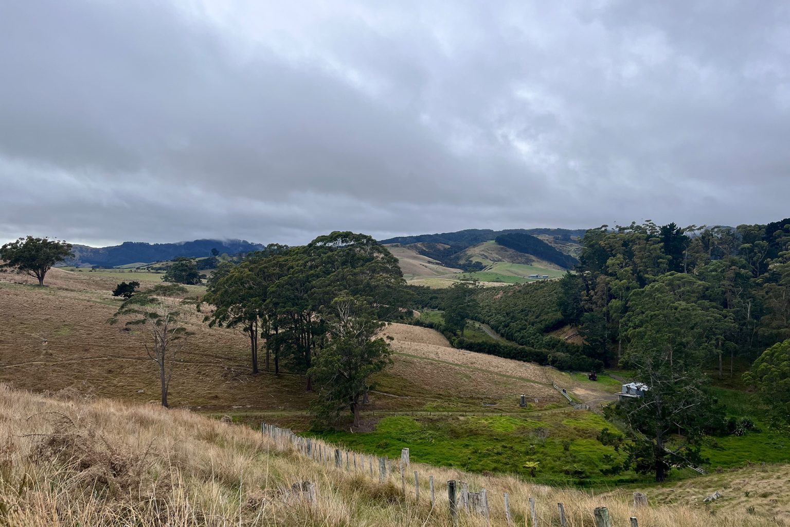
Back on the main track, head west through paddocks to the park entrance. Cross the road and continue west through more pasture up a gentle hill before a steeper descent to the wetland.
Here there is a confusing array of trails, but they all seem to lead in the same general direction. Some are specifically for mountain bikers.
At the wetland, it’s possible to shorten the walk by 1.4km by simply crossing a vehicle bridge to avoid the Valley Track. Otherwise, head north on the Valley Track to enjoy an easy walk around this small wetland area, first planted in 2013. After 700m the track turns south to bring walkers back to the far side of the bridge.
A farm track leads south then climbs a hill, bending to the north before traversing a 1km ridge with pine forest on the left and farm paddock on the right. At the northern end of the ridge it rejoins the park road. Follow this back to Tikapa Moana Lookout and the track back to Mātaitai Bay and the car park.
Before leaving, it’s worth visiting the wharf on the far side of Koherurahi Point. People fish from here.