This tramp strikes the perfect balance between adventure and comfort, making it ideal for the novice and the experienced tramper. This description starts from the car park on Egmont Road – not North Egmont Visitor Centre.
This way, the hardest, longest day is done first. Head down the bush track and, after around half an hour, cross a swingbridge near the convergence of Ram and Kokowai streams.
The site of the former Kaiauai Shelter, now a grassy clearing offering views to Henry Peak, offers a good rest stop. The climb up Henry Peak is the biggest ascent of the trip, but a pretty modest one.
The bush section steepens and gives way to shrubs and the summit provides rewarding views of the range. Then it’s time to tackle the Henry Peak rafts – 2200m of wooden rafts laid, protecting both the landscape and the composure of trampers.
A gentle climb along a ridge brings you to one of New Zealand,s most famous photo vantage points, the Pouakai Tarns. If you ever gushed over a photo of Mt Taranaki reflected in a fetching tarn high on a mountain, the photo was taken here.
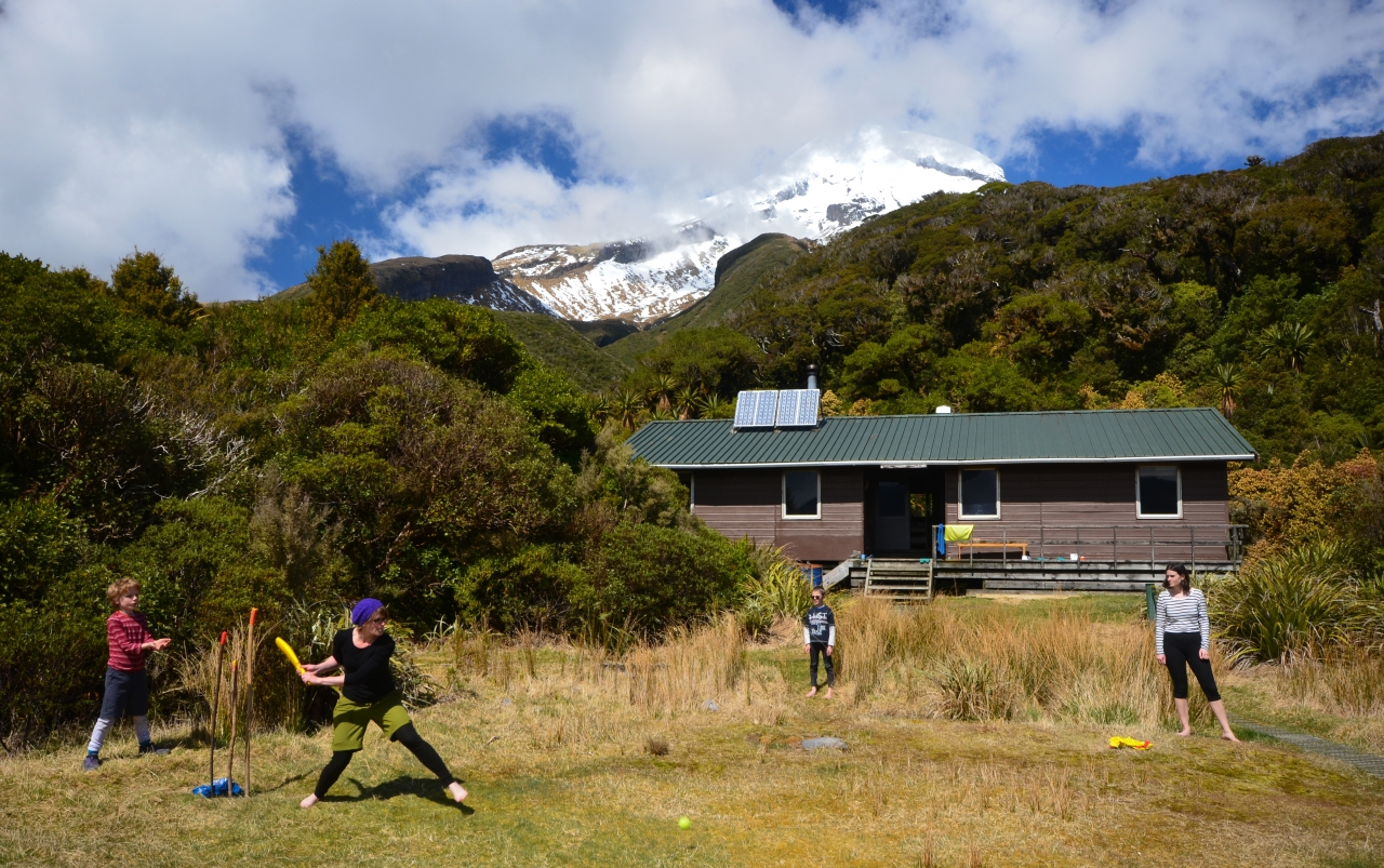
Pouakai Hut sits a short way down from a rocky plateau, only 15 minutes from the tarns. A gentle amble down a well-graded track leads to Ahukawakawa Swamp and a bridge over a pristine stream, and continues to Holly Hut – possibly the most family-friendly hut in the country.
Climb the terraced track that snakes up the folds of Mt Taranaki,s northern slopes. When you reach a junction, descend along the Kokowai Track, back into the bush.
The Kokowai Track is a more traditional tramping track, narrow and slightly overgrown, but still easy enough to negotiate. When the swingbridge first crossed on day one is reached, you know the end is nigh.


34 years of inspiring New Zealanders to explore the outdoors. Don’t miss out — subscribe today.

Questions? Contact us