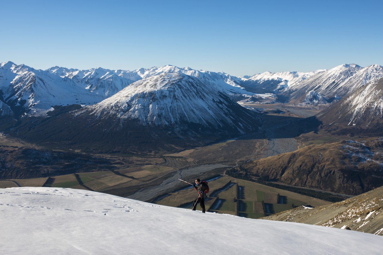
Standing at the northern end of Lake Coleridge in the central Canterbury foothills is the imposing summit of Mt Oakden (1633m). It’s actually a twin-peaked mountain with a 1590m low peak lying 800m east of the high peak across a great fault scarp that divides the summit plateau.
The summit features are not the only attractions for climbing this modest outlier of the Main Divide. The Wilberforce River laps the very foot of Mt Oakden which acts as a barrier to the river’s south-eastward progress, sending it coursing off to the south-west before joining the Rakaia farther downstream.
So the scene is set for a visual feast of landscape features when climbing Mt Oakden and more so from its summit ridge stretched out for a kilometre in a north-south direction above the valleys.
Plying the lower slopes of the mountain, however, is not easy. There are many approaches with the least problematic being a direct line from the head of Lake Coleridge where the Oakden Canal brings waters over from the Wilberforce to feed into the lake,s hydro system. There are no tracks or signs here – it’s the perennial solution of, ‘find a line you like and go’.
The GPX route downloaded here takes in the steep northern ridge.


34 years of inspiring New Zealanders to explore the outdoors. Don’t miss out — subscribe today.

Questions? Contact us