Mt Karioi, Raglan

Read more from

Photo: Brent Phillips

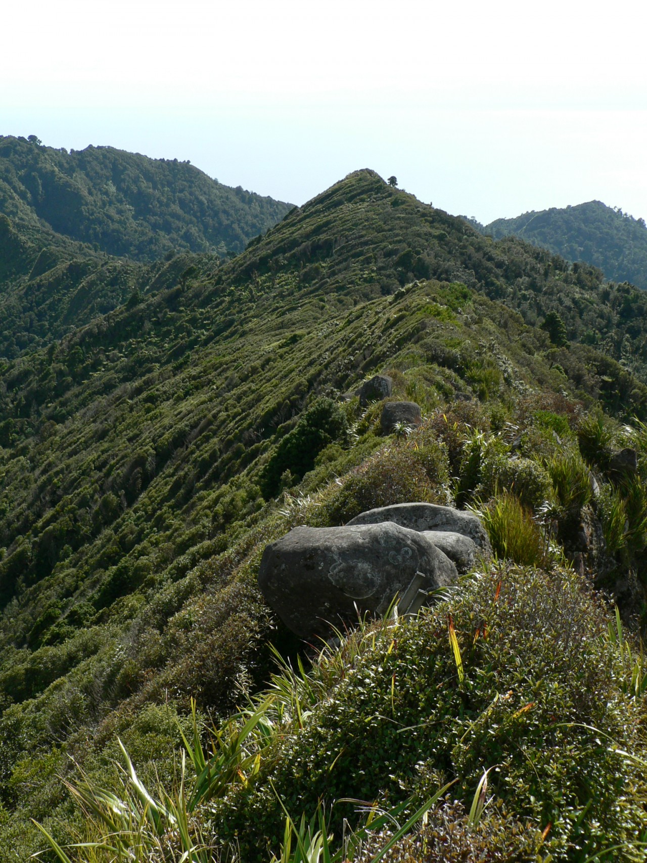
The track starts out steep and the majority of the height is gained in a little more than 2km.

The track peters out in places and care needs to be taken to ensure you stay on track.

But overall there are good markings and route-finding should not prove too difficult. Summit views are worth the steep climb: south are Kawhia and Aotea harbours and in the distance Mt Taranaki.

Return the way you came or continue on the track to Ruapuke Rd (as shown in the map and elevation profile below).

Distance
8.2km
Grade
Easy
Area
Raglan
Time
4.5-6hr
Access
From Whaanga Road
Map
BU24

GPX File

Mt Karioi (gpx, 5 KB)

GPX File

Your device does not support GPX files. Please try a different device.
Alistair Hall

About the author

Alistair Hall

More From Trips

More From Trips

Related Topics

Similar Articles

A chance encounter on the Old Ghost Road

A hiking shoe that refuses to compromise

Your trips, your pix – April 2026

Moss Creek Track, Coromandel Forest Park

Karioi Track, Pirongia Forest Park

Mt William Walkway, Waikato

Trending Now

Green Point Hut, Gamack Conservation Area

The possibilities of packrafting

Every Tararua hut reviewed and ranked

Ministry of Works Historic Hut, Kahurangi National Park

The Tararua’s forgotten traverse

Subscribe!
Each issue of Wilderness celebrates Aotearoa’s great outdoors — written and photographed with care, not algorithms.Subscribe and help keep our wild stories alive.

Join Wilderness. You'll see more, do more and live more.

Already a subscriber?  to keep reading. Or…

34 years of inspiring New Zealanders to explore the outdoors. Don’t miss out — subscribe today.

Your subscriber-only benefits:

All this for as little as $6.75/month.

1

free articles left this month.

Already a subscriber? Login Now