Enjoy a steady climb to a seemingly elusive summit.
Molesworth is an area of national ecological significance. Over 70 threatened plant species grow here, a quarter of which are acutely threatened. Weed control plays a large part in the protection of the area. Wilding pines are one of the main targets: test your strength and pull as many out as you can.
From the car park, cross the small bridge on Tophouse Road and follow a 4WD track on the right that heads to the river. If you want to keep your boots dry, pop on a pair of old shoes before you cross.
Head to the rocky outcrop at the base of the spur, about 500m from the car park. This is a good place to put on your dry boots and stash your wet shoes to collect on the return journey.
On the way up the spur you can go left or right of the outcrop. Right is grassy but steeper; left is rocky. Aim for the open area between a couple of big patches of gorse. Look back at the two power pylons below to note where you came up, in order to avoid the gorse on your descent.
About 800m into the hike the vegetation becomes subalpine and the terrain opens up. Continue climbing, staying on top of the spur, to reach Pt1086, one of several false summits. Each of these provides a good opportunity to pause and catch your breath while enjoying the views. Rocky outcrops on some of the high points are easily negotiated.
At Pt1362 the terrain eases until the 1400m contour and the final steep section to the summit begins.
At about 1500m there is a short descent to negotiate. Straight ahead is a large rocky outcrop – stay left of it, head up through a shingle area and keep climbing.
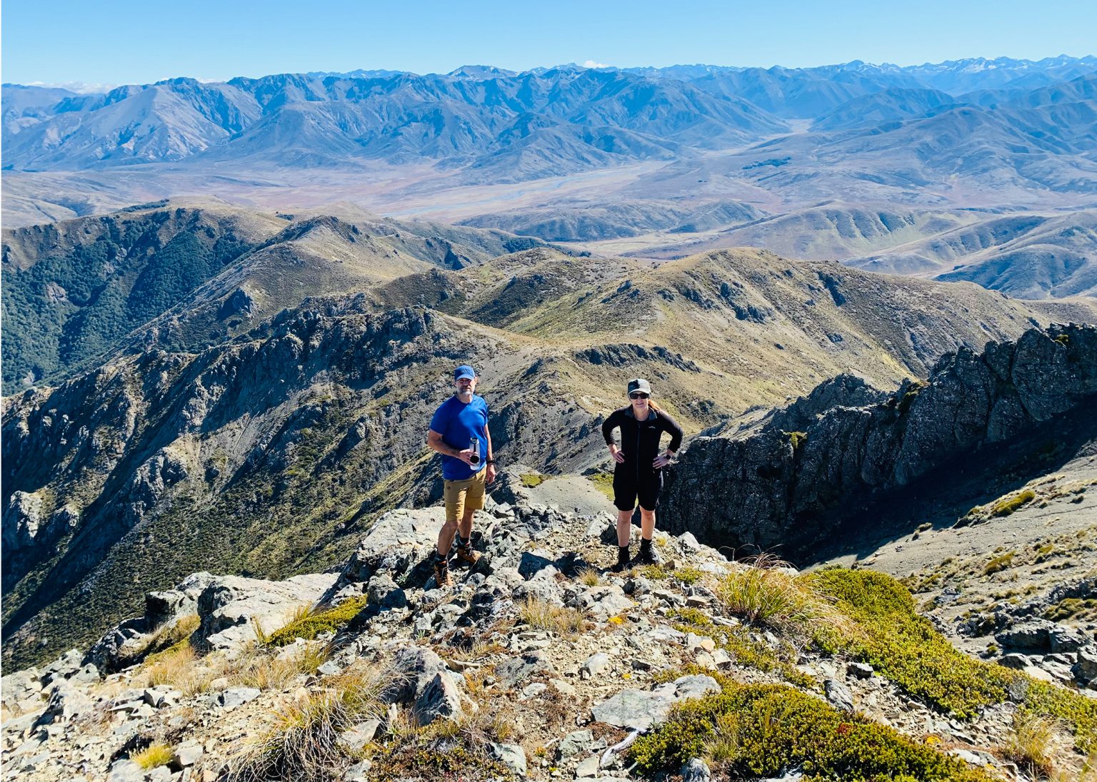
If you have summited on a clear day, take time to sit, relax and enjoy the 360-degree views. The possibilities for adventure in this area are vast – in almost every direction is a summit you can plan to conquer.
Return the same way you came up.
Distance
8km return
Total Ascent
843m
Grade
Moderate
Time
4.5–6.5hr return
Access
Small car park at the junction of Clarence Valley Road and Tophouse Road
Each issue of Wilderness celebrates Aotearoa’s great outdoors — written and photographed with care, not algorithms.Subscribe and help keep our wild stories alive.