Discover gold-mining and logging history, waterfalls and views of the Bay of Plenty. By Stacey Walden
The track begins at a large parking area where there’s a viewing platform with views of Katikati and the Bay of Plenty. It gives a taste of what is to come.
There’s a gate and through it, the track splits immediately. To the left is a 2km-long, 400m climb, up a spur to a historic kauri dam in the headwaters of Wairoa Stream. The right fork is a gentler and longer ascent of 8km to the same point.
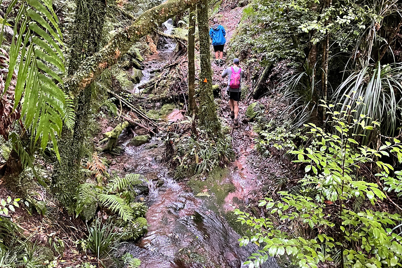
The right-hand track immediately drops into Tahawai Stream, where a beautiful waterfall can be seen through the bush. From here it turns northwards, and walkers climb across a spur before once again dipping into the stream near its headwaters, where another waterfall can be glimpsed. All stream crossings are shallow and unbridged.
The track turns east for 300m before swinging north again and climbing above the 300m contour. Gaps in the forest allow good views to the Bay of Plenty.
The trail now loops around the hillside, heading westerly, and dips again to Tahawai Stream before entering the Wairoa Stream catchment. At around the 4km mark, at the first of the Wairoa Stream crossings, there is an easily negotiated slip.
After another 1km the junction with Wairoa Stream Track and another lovely waterfall are reached. It’s now a southerly heading above the headwaters of Wairoa Stream, to pass a large fallen kauri from the milling era. About 2km further, there’s a steep descent to a track junction where a short diversion leads to the remains of a kauri dam. The track to the right leads to Waitawheta Hut, about 3hr away.
To complete the loop though, head left and climb out of the Wairoa catchment.
The trail levels off for a few hundred metres as it crosses a broad plateau-like area, then the descent back to the car park begins. The gradient is gentle at first, then steepens to lose 150m of height in just 400m. Steps make this section easier.
Brief respite comes from a low saddle before the track commences the final descent to the road end.
The track is well marked but often uneven with lots of roots and rocks. DOC has recently upgraded the surface with gravel and wooden steps and has smoothed some of the rougher sections.

34 years of inspiring New Zealanders to explore the outdoors. Don’t miss out — subscribe today.

Questions? Contact us


