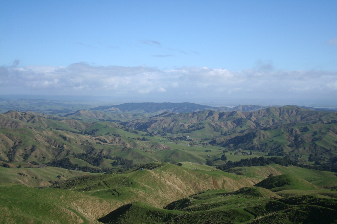
Hapuakohe Range encompasses three blocks of public conservation land: Matahuru Scenic Reserve, Mangapiko Valley Scenic Reserve and the trackless Hapuakohe Ecological Area – a total area of 2627ha. The 24.8km Hapuakohe Walkway runs on a north-south axis from North Rd near Mangatarata to Mangapiko Valley Rd near Waiterimu and is bisected by Ohinewai Rd. The […]
The 2026 Wilderness Outdoor Photographer of the Year competition
Dirt bike trial on Tongariro Northern Circuit gets approval
Knockin’ on heaven’s door
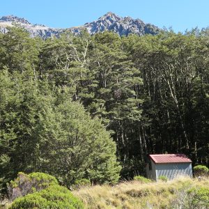
Sudden Valley Bivouac, Arthur’s Pass National Park
Walking through the valley of Hope
Subscribe!
Each issue of Wilderness celebrates Aotearoa’s great outdoors — written and photographed with care, not algorithms.Subscribe and help keep our wild stories alive.