Home / Trips / Otago

Camp Flat, Blue Valley Track, Mt Aspiring National Park

Image of the March 2018 Wilderness Magazine Cover Read more from the
March 2018 Issue

A sanctuary off the tourist beat

Branching off one of the busiest sites in Haast Pass, the Blue Valley Track is a comforting reminder of how you can still find a track to yourself, even if you have to queue to get there.

Not as well-known as the neighbouring Young and Wilkin valleys, the Blue River Valley features lush moss-covered beech forest leading to an alpine valley framed by snow-capped peaks and idyllic camping sites.

The track starts from the Blue Pools car park, just as SH6 transforms from dry tussock country into lush beech forest.

The car park was packed when we arrived and, donning large packs with tents and camping equipment, we got more than a few strange looks from the hordes of tourists as we ambled on the broad and gravelled track towards Blue Pools. The walk was recently named one of DOC’s Short Walks and Day Hikes and we soon discovered the effect of this publicity. Ten minutes into the walk and we came to a standstill as a queue had formed at the first swingbridge across the Makarora River. It took five minutes to get across the one-way bridge, as people stopped to take photos on their walk through.

Camp Flat. Photo: George Driver

The turn-off to the Blue Valley Track is directly after this bridge and we soon left the crowds behind.

The track immediately changes to a narrow and steep trail laced with tree roots, but it is clear and well marked. After about 15 minutes, it begins to flatten, undulating above a steep gorge of the Blue River far below. A further 15 minutes and the surroundings open out into a spectacular plateau of beech forest – the stuff of fairy tales with bright green moss carpeting every surface, lush undergrowth, and plenty of light spilling through the forest canopy. The trail follows the south side of the valley, and despite drought conditions in nearby Central Otago, the forest was dripping wet.

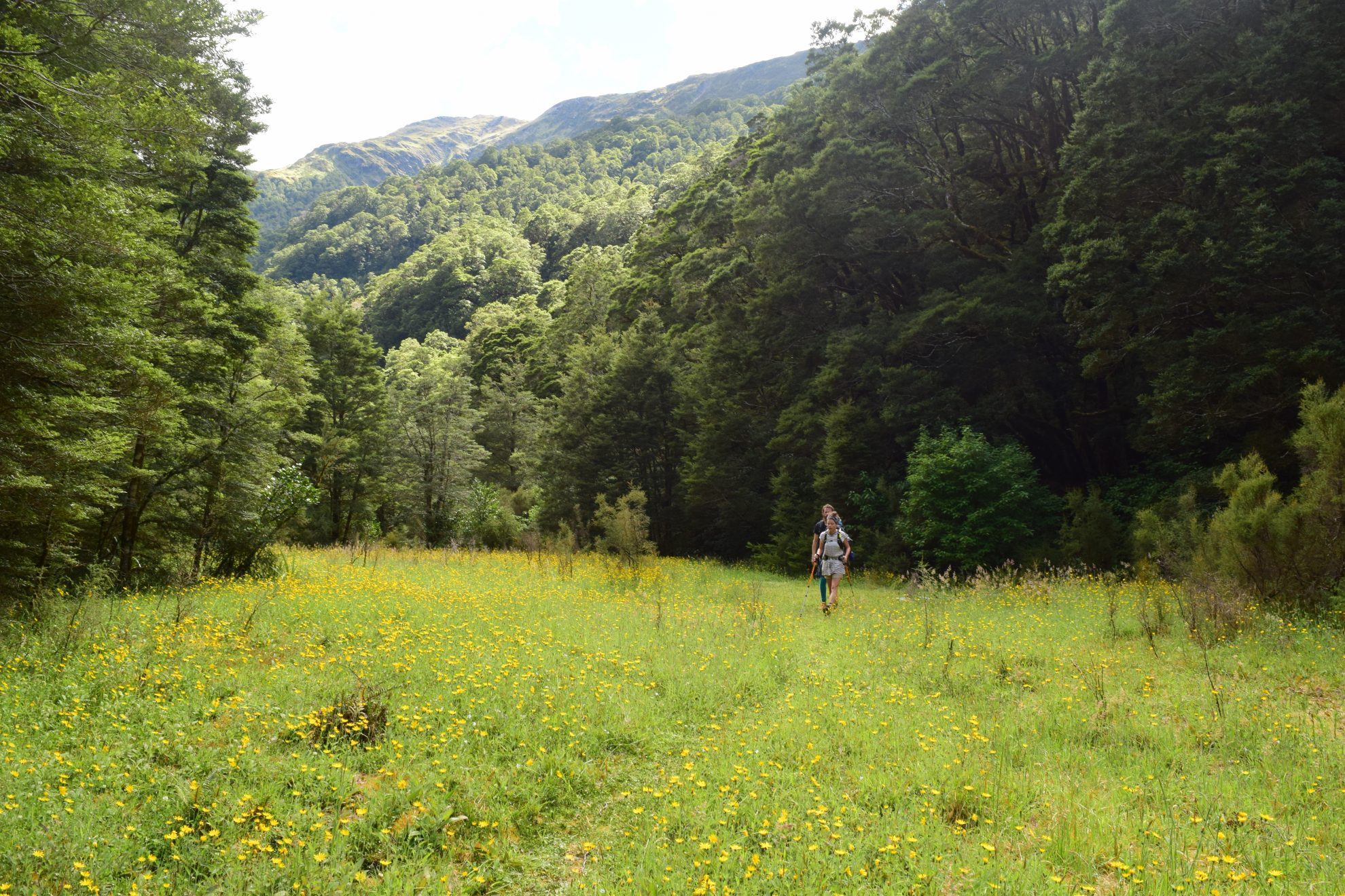
The trail continues along this flat terrain for about 30 minutes before the roar of the Blue River signals the descent into the Blue Valley. Here, the track narrows and then emerges from the forest at the lush meadow of Camp Flat – our destination for the day. There is plenty of camping space in this clearing, about 50m from the river, with views of the rugged, snow-capped Mt Stuart (1860m).

We were the only people camping in the valley and we only saw a couple of day-walkers – hard to believe it’s just over an hour from the crowds at Blue Pools.

There is another camping spot near the head of the valley, beside some river flats. The track zig-zags across the Blue River several times and DOC signs say it is a further six to seven hours.

Distance
3km
Total Ascent
319m
Grade
Easy / Moderate
Time
90min to Camp Flat
Access
Blue Pools car park, SH6
Map
BZ12, BZ13

GPX File

Camp Flat.Blue Valley Track (gpx, 8 KB)

GPX File

Your device does not support GPX files. Please try a different device.