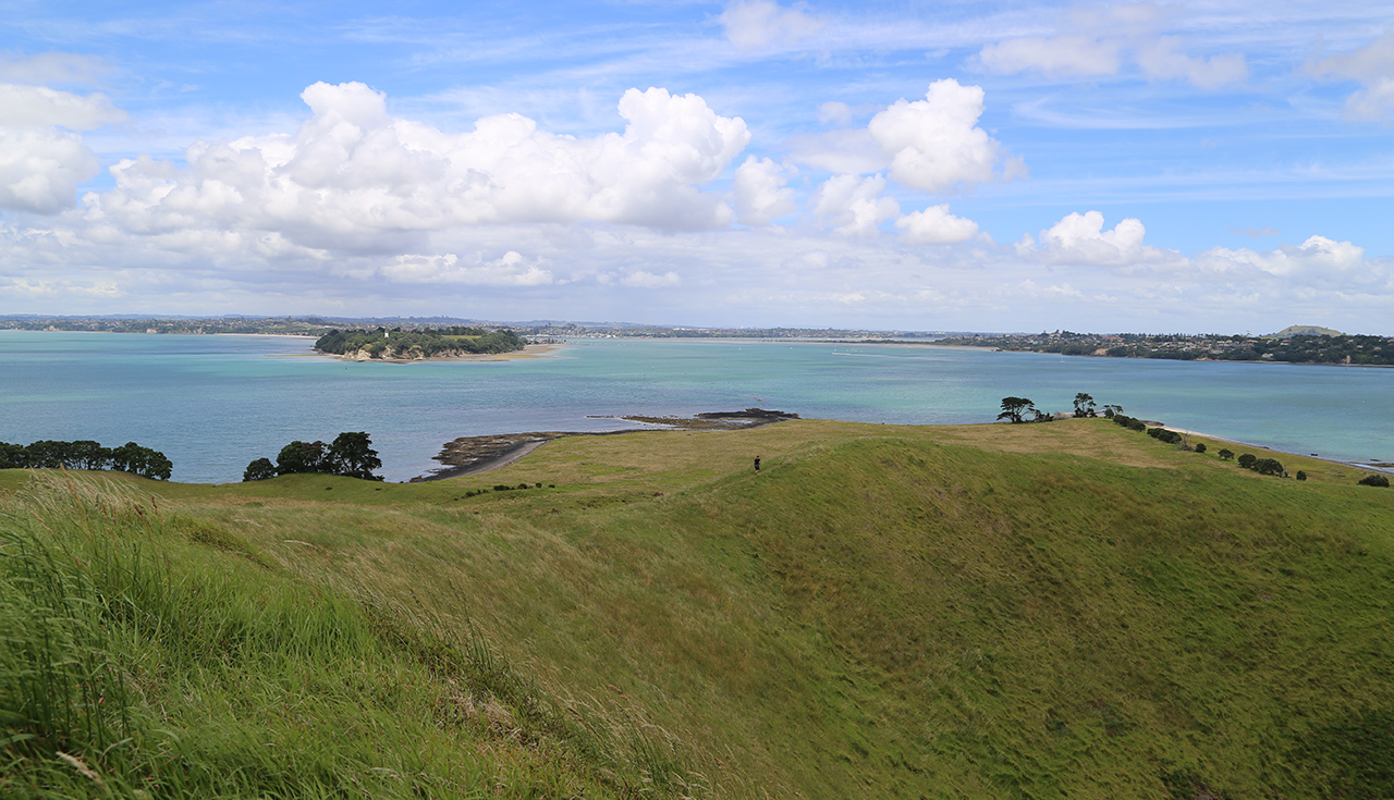
Reaching Browns Island by kayak and enjoying a few hours exploration is achievable and makes a fantastic day out. The most popular starting point for a paddle to the island by kayak is from St Heliers Bay, from where it takes around 35-60min. But you can also start from Okahu Bay, nearer the city, to […]
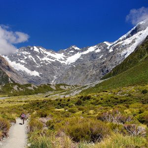
Pararaha Valley–Whatipū Beach Loop, Waitākere Ranges Regional Park
Trending Now
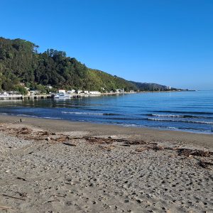
Lowry from Days Bay, East Harbour Regional Park
Trampers say decision to remove beloved hut failed to follow process
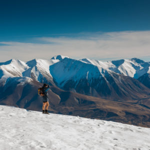
Foggy Peak, Korowai-Torlesse Tussockland Park
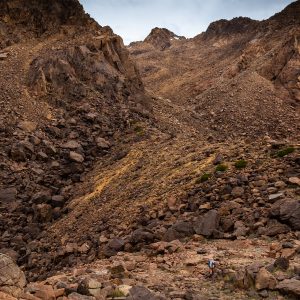
Roaming the red rocks
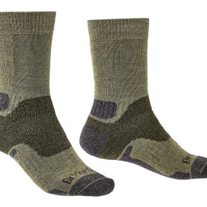
2026’s guide to outdoor socks
Subscribe!
Each issue of Wilderness celebrates Aotearoa’s great outdoors — written and photographed with care, not algorithms.Subscribe and help keep our wild stories alive.