Walk through the Wairarapa Dark Sky Reserve’s ‘dark core’ on this remote crossing dotted with numerous swimming holes.
This isolated crossing can be done in either direction. From the Aorangi Crossing car park on the Cape Palliser side, the track starts on the true left of Mangatoetoe Stream. It quickly peters out but reappears on the river bank at times on the way to Mangatoetoe Hut. If in doubt, follow the wide and easy-to-navigate riverbed.
Mangatoetoe Hut is the first of four six-bunk huts on the crossing. It’s in good shape and has plenty of camping spots on the surrounding grass flats.
From the hut the track follows the stream gradually to a low saddle which is followed by a quick descent to the stream below, where there’s a nice pool for cooling off. There are many slips as you start down the stream, but the track is blazed and follows the stream bed with occasional stretches on the banks.
Kawakawa Hut is on a large, flat river bed with tent spots aplenty and shaded pools for soaking. Hunters frequent the hut, which can be accessed by car via the private Kawakawa Station. Across the river to the west is a private backcountry hut run by the station. Aorangi Forest Park lies almost entirely in the ‘dark core’ of the Wairarapa Dark Sky Reserve, and the wide riverbed is a superb open space for stargazing on a clear night.
The track now follows the stream to the northeast. After approximately 1km is the first of three rugged climbs of the crossing. The initial gain up a spur is the toughest, but then it eases. Follow the track markers when the track is not obvious underfoot. After the saddle under Pt590, descend 200m over the next 500m to reach Pararaki Hut. Built in 1966, the hut is in a small clearing near a stream.
The trail heads up again for the second climb, which is steeper than the first and gains 500m to just below Pt765. Near the top there are views over the Wairarapa and Remutaka Forest Park. The descent to Washpool Hut can require crawling at times.
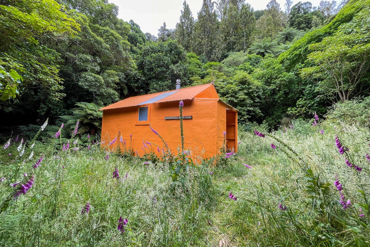
Washpool Hut is shaded and sits about 20m above Washpool Creek, the water source for the hut. The clearing near the creek makes an excellent place for a dip or to enjoy a meal.
The steep climb from Washpool Hut to Pt590 is a real leg burner and loose soil slows progress. After Pt590 the gradient eases along a ridge with occasional views. Following a bit of up and down on the ridge, the track heads downhill and becomes an easy 4WD road.
At the trail junction, keep right. Pinnacles Track to the left is currently closed. After 500m, take the left track west towards Te Kopi, which levels out to easy farmland walking before a steep drop to finish.