One of the most important sites for seeing our mining heritage is Macetown, a ghost town and now a historic reserve, 15km from Arrowtown.
Setting off from Arrowtown there,s a four wheel drive track that largely follows the route built in 1884, when the mining was becoming more industrial and the need to move bigger machinery was making Big Hill impractical. The route initially follows an irrigation pipeline for twenty minutes before crossing a footbridge and joining the vehicle track. After a couple of hours, the vehicle track begins to frequently cross the Arrow River. The advent of the Te Araroa Trail has seen sidle tracks opened – or, in some cases, reopened on historic formations – so it’s now possible to get to Macetown with dry feet.
A profusion of exotic trees heralds the main street of Macetown and there are two restored historic buildings.
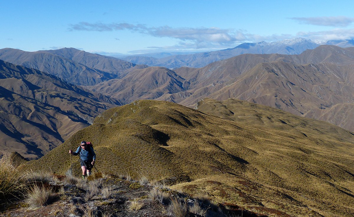
Then it’s the main objective: Advance Peak. Standing 1749m high, it dominates the view from Macetown.
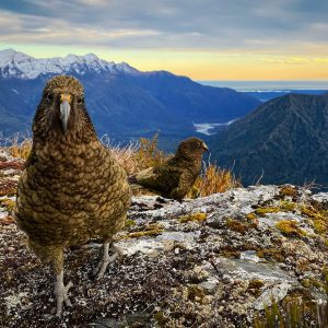
The first 300m are the worst, then it’s a steady meander up the ridge. The peak has a large flat summit with superb views. Below, you can look into the upper reaches of the Arrow and Shotover. The skyline to the north-west is dominated by Mt Aspiring/Tititea and Mt Earnslaw/Pikirakatahi, with an array of snowy peaks between them. Out to the east is Leaning Rock and Mt St Bathans, two of the best viewpoints in Central Otago. To the south is the full length of Lake Wakatipu’s southern arm.
The return route takes you onto the peak’s southern slopes, where tailings 200m below mark the site of the highest mine workings in the area and the top of an old pack track formation. This makes for a quick descent into the head of the Rich Burn. No doubt the pack track once went all the way to Macetown but slips have taken their toll and near the stream there’s now not much left in places.
From the village, the route up Big Hill is a little vague as it makes its way up Coronet Creek and then climbs through scrub. Two hours from Macetown, you,re on the saddle. The descent is on another old pack track, and not far from the saddle it goes around a corner to reveal extensive views of the Wakatipu Basin. A meander around a water race takes you through a patch of beech and on to a point where you drop down to join the Sawpit Gully Track.


34 years of inspiring New Zealanders to explore the outdoors. Don’t miss out — subscribe today.

Questions? Contact us