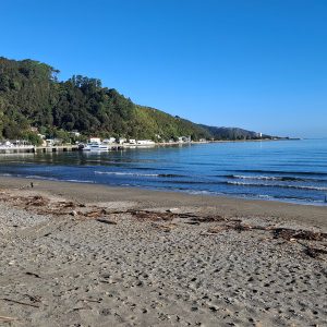
For Te Araroa Trail walkers, the East Ahuriri Track marks the start of another epic tramping section between Lake Ohau and Lake Hawea. I had hitched a ride from Twizel in the late afternoon to the Glen Mary Ski Club on Lake Ohau Road (more like a collection of cabins).
The track began on a 4WD road, which eventually turned up Freehold Creek, climbing gently through beech forest to a charming informal campsite right below the tree-line. I first visited this lovely camping spot years ago and had fond memories of the night spent listening to the gushing waters of the creek.
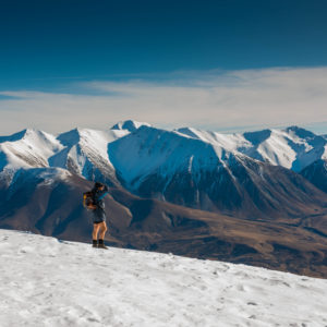
The next morning, after a short climb past the tree-line, the track turned south-west and over a saddle to follow the Ahuriri River East Branch downstream.
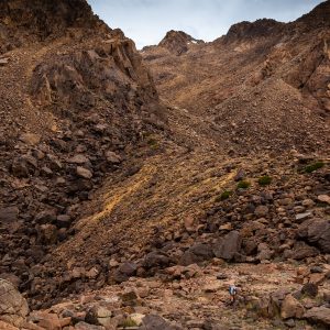
At this point the trail markers become few and far between, but it’s hard to get lost when all you have to do is follow the river.
The going is rather slow, as the rough unformed track is hard on the ankles. I also had to cross the river multiple times to avoid gorged sections and large expanses of gorse.
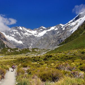
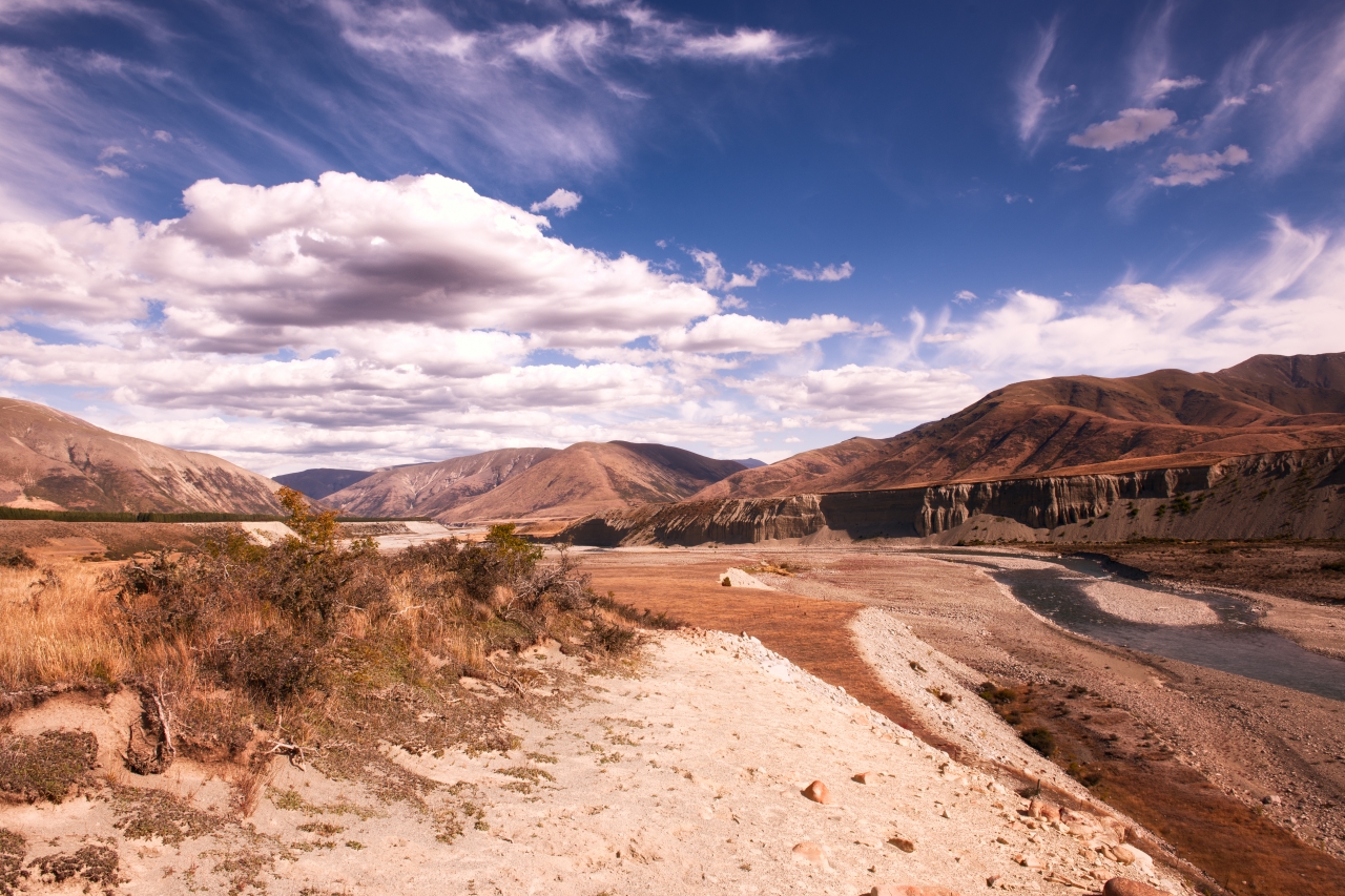
Finally, I emerged from the East Ahuriri River to the wider Ahuriri Valley. The view before me was simply stunning, but was also a little daunting. The Ahuriri River seemed like a canyon, with near-vertical cliffs on both sides and I knew I had to get across to the other side.
I made my way down the steep slope, half walking, half sliding with the loose scree. Crossing the river proved challenging. It was up to waist high in mid-stream, the current was also strong. I moved slowly, taking my next step only when I was certain I had a good foothold.
Having made it across the river, I paused to refill my water reservoir while searching for the next set of trail markers. It seemed they stopped at the base of the cliff with the next one appearing at the top. I had to fill in a bit of the missing information myself, and, spotting a farm track a couple of hundred metres away, used this to get to the top.
From here, it was a short walk to the car park at Birchwood Road – the start of the next section of Te Araroa: the Birchwood Track to Lake Hawea. For me though, it was already 7pm by the time I got to the car park, so I decided to call it a day and pitched my tent a little way down from the car park near the Avon Burn.
– Jingyi Tan

34 years of inspiring New Zealanders to explore the outdoors. Don’t miss out — subscribe today.

Questions? Contact us