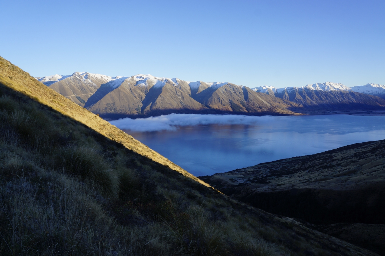
Greta Track, Ruataniwha Conservation Area In gaelic, ‘Ben’ refers to a mountain, while in Maori ‘Ohau’ means a windy place; both translations seemed incorrect as I surveyed Ben Ohau from the eastern shore of Lake Ohau. Mist lay over the lake’s surface, confirming the air’s stillness. The mountains at the lake’s head and opposite shore […]
Harris Saddle and Routeburn Falls Hut, Mount Aspiring National Park
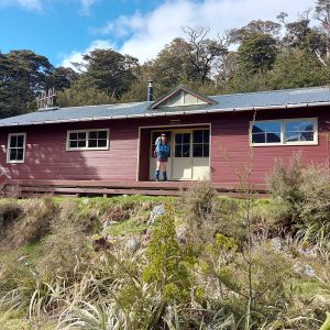
Carrington Hut, Arthur’s Pass National Park
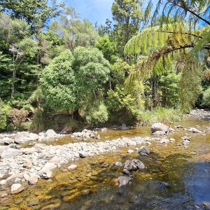
Dobson Loop Track, Tararua Forest Park
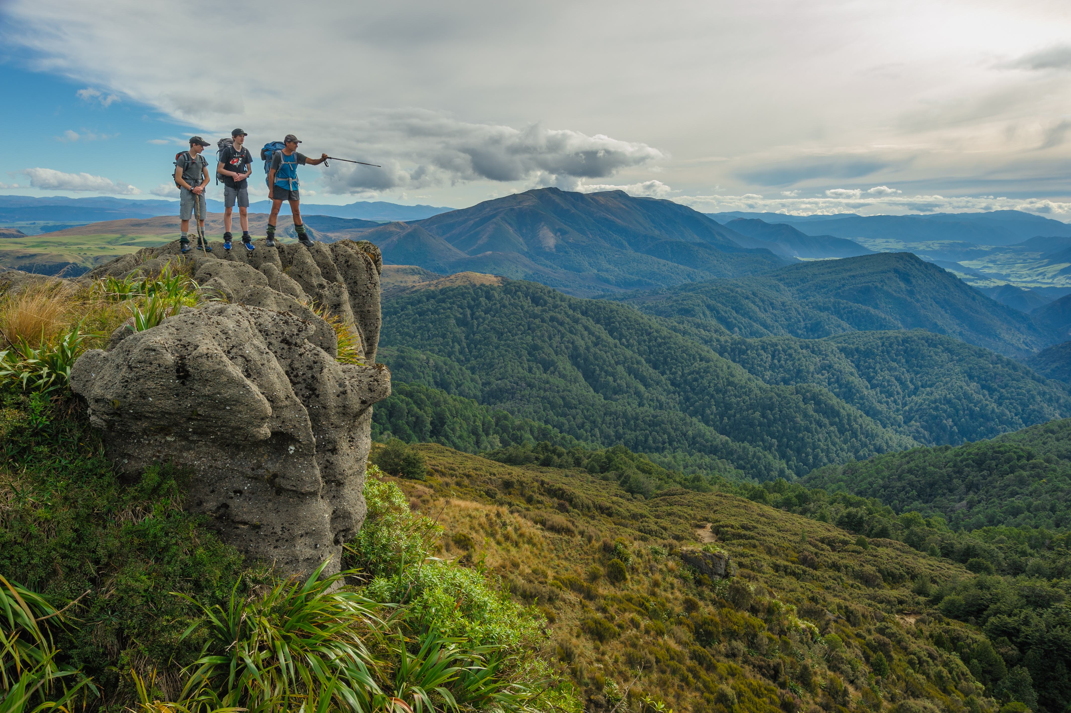
Ruahine cornered
Subscribe!
Each issue of Wilderness celebrates Aotearoa’s great outdoors — written and photographed with care, not algorithms.Subscribe and help keep our wild stories alive.