My tramping buddy and I were keen to test our navigation skills beyond marked tracks and routes. A tip from a colleague set us on the Scott Creek to Kay Creek crossing between the Routeburn and Caples valleys.
Even though the Scott Creek Track is described by DOC as a possible day walk, we had to weave our way through dense bracken at the start, looking out for markers hidden in the undergrowth. We also had to negotiate patches of windfall further upstream, with the biggest detour adding about 30 minutes. By sunset we had made our camp at the delightful Scott Creek forks, fringed by mountains and forest, and visited by a curious kea.
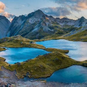
The next day we climbed steadily beside an ever-diminishing Scott Creek to the pass linking with Kay Creek. The odd cairn marked the way. The abundant variety of flora and changing colour of the rocks underfoot – greens, reds and purples – made watching our feet a visual feast. Our lunch spot was bookended by impressive views of Mt Earnslaw to the north, and the Ailsa and Darran mountains to the south.
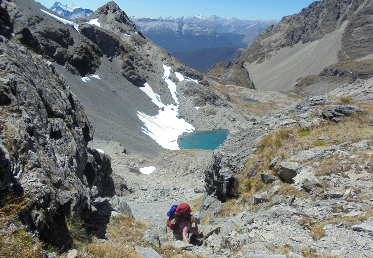
The entrance to Kay Creek dropped steeply away to our left as we climbed to an unnamed pass ahead in the Humboldt Mountains. A magical lake with a vertical moss-covered rock garden slowly dripping into it lay beneath the pass. There were no more cairns to guide us. Combining our bearing with the map and notes from Moir’s Guide North, we picked a solid route and scrambled up and over the pass to Death Valley. However, on our way down the other side, we took our eyes off the map for a few minutes and found ourselves bluffed. We quickly retreated to a safer line of descent to a perfect campsite beside a large tarn at the head of the hanging valley.

The next day we worked our way down the open sweep of Death Valley. Cairns began to appear just before the bush line above the rather decrepit Kay Creek Hut. A DOC warden had flown in that morning to fix the hut door. She had counted in the hut’s book only 58 visitors in 2015.
From there it was back to a well-marked track down the forested Kay Creek, crossing the creek a few times, then on to the comparative highway of the Caples Track.
The trip was beautiful and rewarding, and was perfect for practising and improving our map reading and route-finding skills.
– Stephanie Gibson

34 years of inspiring New Zealanders to explore the outdoors. Don’t miss out — subscribe today.

Questions? Contact us