A treasure hunt to find the five summits that encircle Pukekohe.
It may not be a walk in the wild, but Pukekohe Five Summits has plenty of appeal, even for those who roam the backcountry. It’s 22km long, involves some hillwalking, some sections resemble tramping tracks, and you’ll be guided by those familiar orange markers – stay alert to spot them.
Walk the trail in a day or in sections. The starting point is Pukekohe Train Station, and bikes are permitted on the train.
This version of Five Summits takes in the new Te Ara o Puuriri (The Pūriri Path).
Section 1: Pukekohe Train Station to Pukekohe Hill, 4.4km
Exit onto Custom Street. Leave Manukau Road and head west through Bledisloe Park and smaller reserves via paths and mainly quiet cul-de-sacs before ascending Pukekohe Hill. From Anzac Road, enjoy views across horticultural and pastoral lands to Tūākau in the distance. Watch for markers that point over the grass to the summit, where there are carvings created under the guidance of Ngāti Tamaoho master carver Ted Ngataki. Pukekohe Hill is a shield volcano that last erupted around 550,000 years ago, and is one of at least 82 volcanoes within the South Auckland Volcanic Field.
Section 2: Pukekohe Hill to Belmont Rise, 5.4km
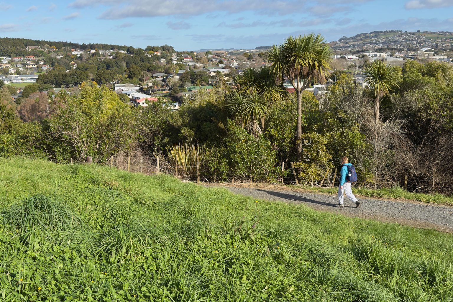
Enjoy semi-rural views towards Manukau Harbour as the trail heads downhill in a northerly direction. Traverse Cloverlea Reserve, a low-lying area with stormwater ponds, to emerge on Ward Street. Proceed through new housing developments, alongside swales and through a small reserve that links Factory Road and Adams Road South, before ascending to Belmont Rise (108m). Belmont Rise is a remnant of the Helvetia Tuff Ring, an eroded volcanic crater rim.
Section 3: Belmont Rise to Cape Hill, 6.47km
Ngāti Tamaoho and Ngāti Te Ata Waiohua gifted the name Te Ara o Puuriri to the new link that connects Adams Road South to Rifle Range Road via an easement. Andrew Sinclair of Franklin Active Trails has driven the creation and maintenance of this new section, which he describes as a “backbone of connection” that will make it easier to create linkages to other parts of Franklin in the future. Pūriri, kohekohe, taraire, karo and tawāpou are attracting birds like kererū, tūī and pīwakawaka.
A network of tracks winds down to Rifle Range Road and past market gardens to meet Belmont Road. At its end begins a series of paths and tracks that follow Whangapouri Stream – crossing streets periodically – to emerge finally at Hickeys Reserve on Paerata Road. After heavy rain the stream can become quite a torrent and short sections of trail will be muddy. A little road-walking leads under the rail over-bridge to Settlers Walk, which ascends through bush to Cape Hill, a remnant of the Rooseville Tuff Ring. Notice the rock formations under the hill on the descent to the bushline.
Section 4: Cape Hill to The Rock, 2.4km
After winding down through bush the trail traverses suburbia, taking in wetland areas to reach The Rock. The maunga, considerably modified to accommodate housing, offers views of the other summits and, on the distant horizon, landmarks such as Rangitoto Island and the Sky Tower. Nowhere on the walk is Pukekohe’s population growth more evident.
Section 5: The Rock to Rooseville Park, returning to Pukekohe Train Station, 3.27km
The trail now heads southwest on quiet streets and through landscaped Anselmi Ridge Drainage Reserve. After a short stretch on Pukekohe East Road, walk up Ngahere Road and duck under greenery past the last house to find the track through peaceful Rooseville Park. There’s an interesting geological formation on the way up to a grassed clearing that is surrounded by mature native forest alive with birdsong. It’s now less than a kilometre to the station.
Creating a legacy
Pukekohe Tramping Club created the walk that links the five volcanic maunga to mark its fiftieth anniversary. Members wanted to develop a trail in their home town, one that could be enjoyed by cyclists as well as walkers. They pooled their skills: club founder and surveyor David Lawrie contributed his mapping expertise and knowledge of access rules, and long-term Pukekohe resident Glenn Clark spent two years exploring the neighbourhood, locating walkways between houses and through reserves that weren’t even marked on GeoMaps. Other members researched information for storyboards on the summits and designed maps. With the co-operation of many in the community and beyond, Pukekohe Five Summits opened in 2019.