Home / Trips / Northland

Motutara Track, Motutara Recreation Reserve

Image of the October 2020 Wilderness Magazine Cover Read more from the
October 2020 Issue

A beach hideaway

Leading to a secluded beach on a headland with incredible coastal views, the Motutara Track is an excellent outing from the holiday hotspot of Whananaki.

The start of the track is signposted at the end of Whananaki township, just as the road starts to climb towards Otamure Bay, and takes about two hours.

At first, the track climbs steeply through private farmland before reaching a ridge and joining a gravel road within the popular Motutara Farm campsite. Once the road reaches the bottom of the hill, the start of the track can be found on the far right, near the coastline on the south side of the headland.

From here it continues through farmland, climbing steeply with views of the white sand Kings Beach below and out to the Poor Knights Islands on the horizon.

Soon the track rounds a ridge, revealing incredible views of an unnamed beach. This marks the start of a network of mown tracks that run through the farmland on the heads, most of which aren’t marked on the topomap, and you can spend an hour or so picking-a-path around the reserve.

We descended straight down to the deserted beach, which would make an excellent swimming spot in summer, and came across a flock of shags lolling on the shore.

The sandy beach in Motutara Recreation Reserve would be fantastic for swimming in summer. Photo: George Driver
The heads feature expansive views over Whananaki Inlet and the forested hills of Northland. Photo: George Driver

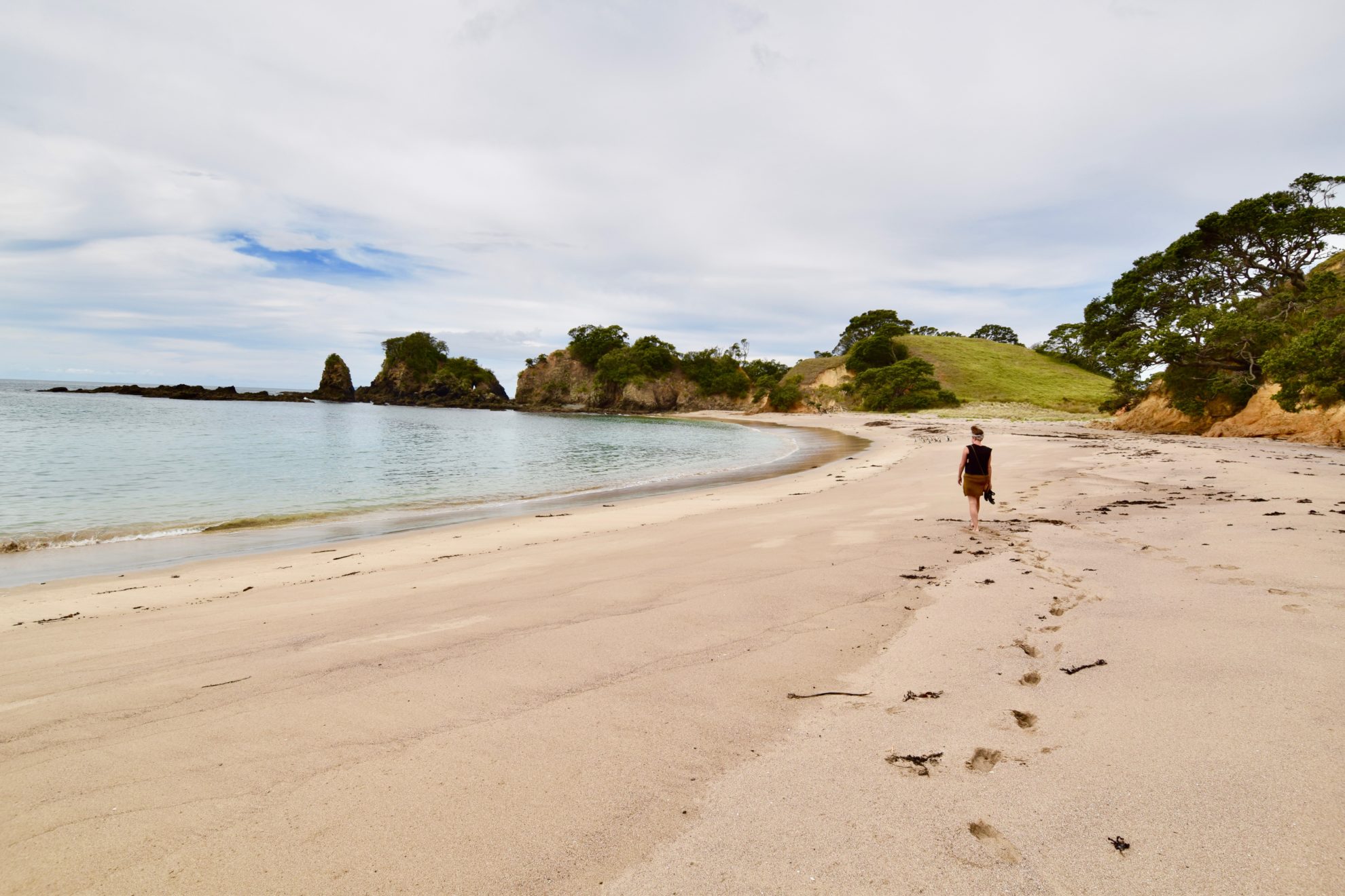
From the far end of the beach, a track continues up a small valley before climbing to a ridge on a pohutukawa-lined clifftop that looks down onto the sea and a rocky shore.

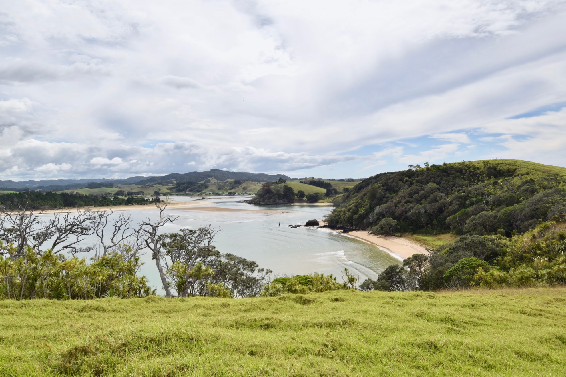
The track soon reaches the main ridgeline that leads to the end of the heads, with impressive views of the white sand beach of Whananaki South and down the coast towards Sandy Bay. To the west, you can see down the Whananaki Inlet with the rolling forested hills of Northland in the background.

A track continues down towards the end of the peninsula. Shortly before the heads, a sidetrack leads to a large pool, with turquoise water sheltered by a rocky reef which is worth a look.

From the heads, we retraced our steps along the main ridge, forming a loop back to the campground, where we’d set up our tent beneath a large pohutukawa tree at the end of Kings Beach.

Distance
4.5km loop
Total Ascent
77m
Grade
Easy
Time
2hr
Access
Rockell Bay Road

GPX File

Motutara Track (gpx, 3 KB)

GPX File

Your device does not support GPX files. Please try a different device.