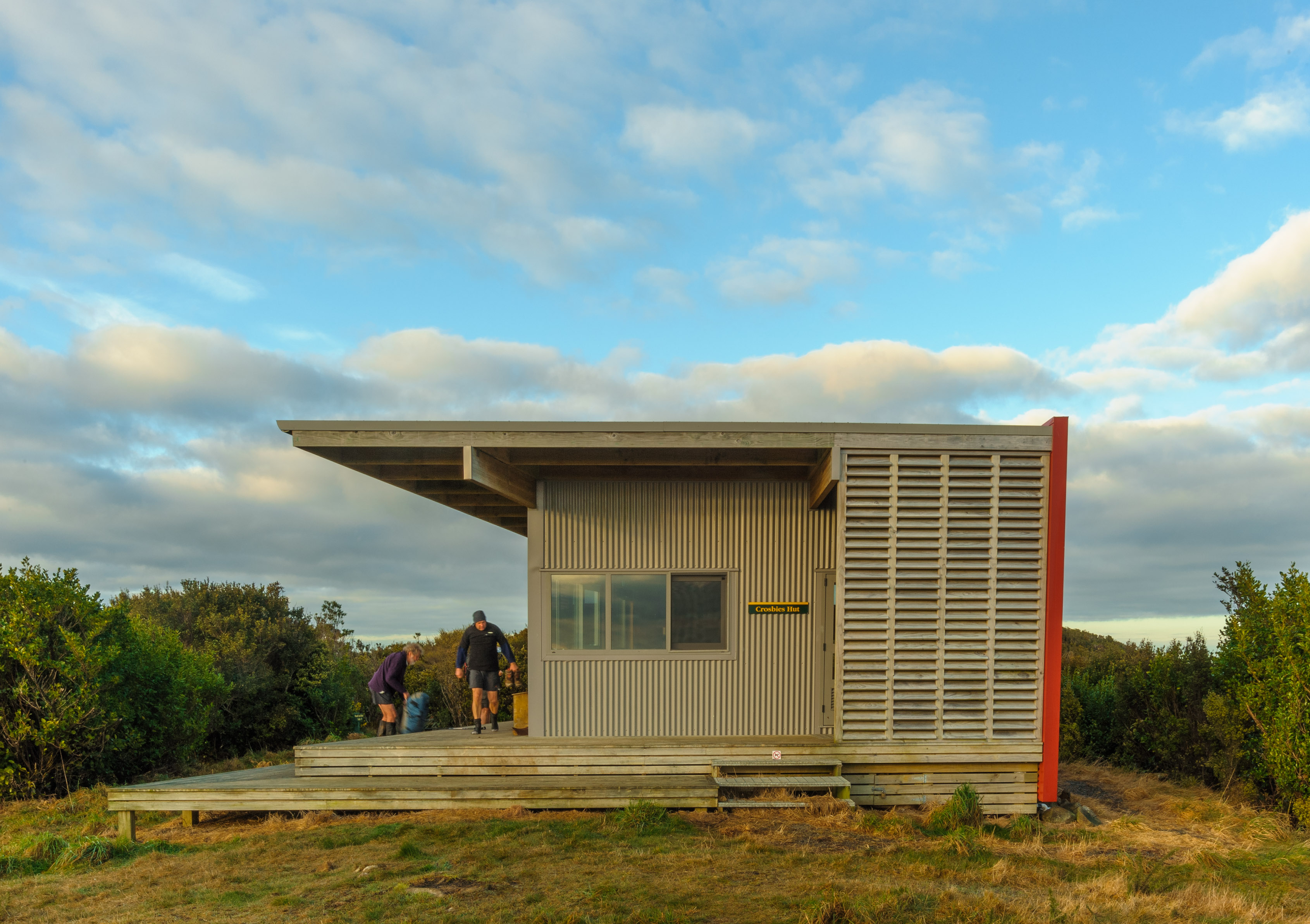
Big Ben, Torlesse Korowai Tussockland Park
Out the back of the Rakaia Gorge in central Canterbury, where the river broadens into a large floodplain and the foothill ranges fall back, is a relatively new accessway onto the south-eastern end of the Big Ben Range and Big Ben, a large rounded 1416m summit.
It’s known as the Dry Acheron Track and its formation through private land to reach the toe of the range provides some great opportunities for hikes in a remarkable setting.
I decided to take the plunge and headed through the lower Dry Acheron Stream early one winter morning when the snow had retreated to the tops. I made a beeline, in a winding sort of a way, up this very attractive stream which flows through a series of mini-gorges, open space and terraces as it drains the Big Ben Range – drawing ever nearer as I counted off the metres.
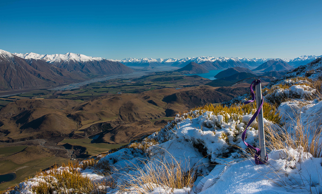
Pulling up at the base of Big Ben, I surveyed the steep incline above, shed a few layers and forged on up. A rough trail climbs the face and it’s poled which makes life a little easier. The good thing about steep slopes is that if you can keep the pace steady you get up really fast and into the view-zone before too many gasps. Climbing Big Ben is like that and soon I reached a very pleasant plateau at around 1000m, where a small knoll offered sweeping views of the Rakaia Valley, and a place to rest. It was worth coming even this far for the view: Mt Hutt, up the Rakaia to the Main Divide, over to Lake Coleridge and into the Wilberforce.
Higher up, it just got better.
I reached the snow and a false summit, then climbed a final long easy slope to the range crest and Big Ben.
Like its name, the view from the summit is big and covers much of the Canterbury Plains, all of the Rakaia, Coleridge and Wilberforce basins and the Big Ben Range which rolls away to the north-west like a frozen wave.
On this day, the scything wind cut through my layers and I was soon seeking shelter on the lee side, before racing for the sheltered southern face of Big Ben.
Lower down I was able to take a longer break, in the sun and out of the wind and pick up on the view again in a little more detail. The jumbled topography of the Lake Coleridge Basin was fascinating from here. Numerous isolated triangular hillocks jostled for space amid the tawny downs; appearing like a giant’s army preparing for battle.
My battle was to get down, get out, and get home – all the while absorbing the transient beauty of Dry Acheron Stream passing around me like a moving picture gallery.