Two-way communication is valuable, especially when things don’t go to plan. The most commonly used devices are satellite emergency notification devices.
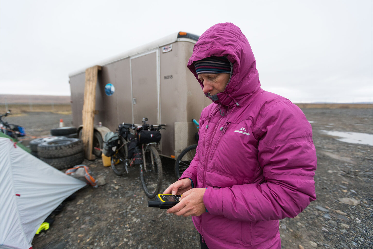
Satellite emergency notification devices (SEND) include inReach and Spot. They use satellite systems to send location, messages or emergency distress notifications. Various devices offer differing services, which may include:
- Location tracking
- Emergency signals. These may be a simple SOS and location (like a PLB), or two-way communication with emergency services
- Text messaging to cell phones or email. Different models allow pre-programmed or free-form messages
- Pairing with mobile phones for GPS navigation systems and ease of typing messages.
Each make and model is different, so research specific functions and select whichever meets your needs. inReach and Spot use different satellite systems and both are different to satellites used by PLBs.
Before leaving, check batteries are fully charged and take a battery pack to recharge on the go. If available, test the beacon using the test function. Make sure you know how to operate it before you need to! If available, set up tracking to the desired time interval frequency. More frequent tracking will use more battery.
When sending a message or SOS, use the manufacturer’s instructions. A clear view of the sky is needed for the device to connect with passing satellites. Avoid heavy canopy – find an open space if possible. Take it outside of a hut or snow cave. Point the aerial to the sky and away from structures that may block a sky-view. In a deep valley or gorge, aim it at the highest point. There may be delays to the signal getting out.
When an SOS is activated, emergency services will contact your emergency contact for details of your plans. Search and Rescue operations use the signal location to find you. Do not turn off the device once activated even if the emergency situation resolves itself, or until notified to turn it off by emergency services. Stay put until help arrives or you’re advised to move.
Share your location tracking link with others to show your progress. Consider setting up a list of likely contacts on the website before leaving. For someone to use a cell phone to call the device, a message must first be sent to that person from the SEND. When calling a cell phone, use the +64 format.
Advantages of a SEND device:
You know when a satellite has received an emergency signal.
- There’s two-way messaging during an emergency. This helps Search and Rescue to triage the emergency and give advice; you know when and what type of help is being sent.
- It enables people to be told you are safe, hence preventing an alarm from being raised if you have only changed plans or are delayed.
- Tracking location enables emergency services to see your speed and track taken.
- If you are knocked out or unable to activate in an emergency, your last tracked location is known. Some devices allow people to call and check on you.
- Weather updates can be obtained.
- It’s peace of mind for those at home: they can see progress and communicate two-way.
- Some units’ batteries can be charged during use.
Disadvantages of a SEND device
- The signal strength is less than a PLB, so there may be a delay in signal pick-up.
- Location pinpointing is usually less accurate than a PLB.
- There is no homing signal for a helicopter to home in on.
- SENDs are not kept specifically for an emergency, so the battery may be low when needed.
- There’s a monthly or annual subscription fee.