Established around the Te Aroha Domain and its hot springs, the town of Te Aroha was one of the most popular health resorts in the country until it was surpassed in popularity by Rotorua in 1910. The Mokena Hou Geyser in the Domain vents every 40-45 minutes.
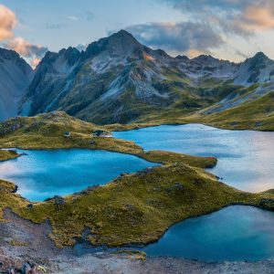
The town is at the base of 952m Te Aroha, and there are several ways to tackle the mountain. This route describes walking the service road and then descending the Te Aroha Track. Tui Road goes up the north side of the mountain past the golf course, and the Mountain Track leads down to the Domain a couple of kilometres away, so this route requires a bit of extra walking through town to get back to the car park.
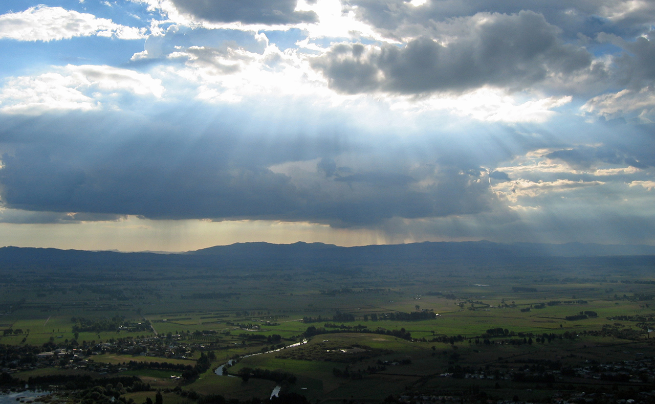
The gravel road begins in light bush, but gradually opens up with views across the Hauraki Plains on one side and the Kaimais on the other. The roadside is lined with toi toi and grass with the occasional stunted silver beech (Te Aroha is the northern-most limit of silver beech).
It takes about 90min to reach the summit trig, where you can see all the way to Mt Egmont/Taranaki on a clear day.
The Te Aroha Track is a steep, rough track through thick bush filled with birds: bellbirds, tui and whiteheads and North Island robin. The more elusive kokako is also resident in the area, along with kaka, brown kiwi and the long-tailed bat.
Te Aroha Track passes Whakapipi Lookout about two-thirds of the way down. There is a wooden viewing platform overlooking the Hauraki Plains. From the lookout it takes 30min to reach the Domain and hot springs.
There are a number of short walks around Te Aroha, including loop walks around the reservoir and the Howarth Memorial Wetland, which was established on an old rubbish dump and is now a habitat for the native grey teal.
The wetland has a birdwatching hut accessed by a boardwalk. More challenging tracks follow the side of the mountain around the old tramway and mining relics, making this a good potential weekender.
The Tui Domain Track, which follows an old mining horse trail, will bring you back to your car.


34 years of inspiring New Zealanders to explore the outdoors. Don’t miss out — subscribe today.

Questions? Contact us