Walk the Mount Eliza Mine Track to a cute three-bunk hut in the Kaimai Range.
One way to get to Motutapere Hut is via Thompsons Track, a legal road that crosses the Kaimai Range between Manawarū and Katikati. The story goes that it was upgraded during World War II as an alternative escape route should Tauranga be invaded.
Today, the track has been hammered by 4WD vehicles and is seriously rutted and muddy in places.
For trampers, the Mt Eliza Mine Track is a far more pleasant route to the hut. It begins at an obvious parking area on Thompsons Track and descends through low-altitude forest on an easy grade for 20min to Waitekohe Stream, which is easily crossed in normal flow. Follow the track above the stream on the true left for about 40min before turning right at the signposted junction to start the climb to Mt Eliza.
After a 30min climb, a 5min detour leads to evidence of Eliza Mine. Gold was discovered here in 1896 by prospector William Tilsley, who possibly named the mine after his defacto wife, Eliza Squinobal. Later that year two tonnes of ore were crushed but it is assumed it contained little gold, as the mine was later abandoned. Little remains at the site apart from a tunnel into the hillside, which is inhabited by cave wētā.
The track steepens and reaches Mt Eliza after another 30min. It then meanders up and down, trending westward through pleasant bush, including kāmahi and tawa, with occasional views east to Tauranga Harbour, to reach the North South Track after about an hour.
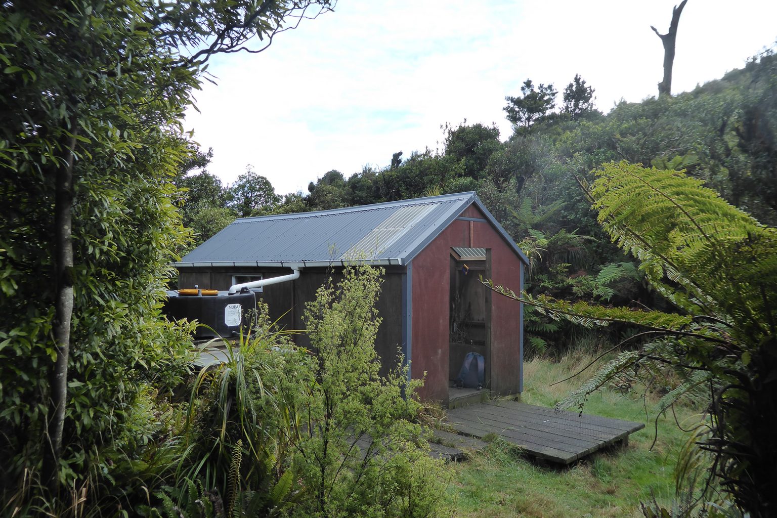
Turn right to reach Motutapere Hut, 30 minutes away and just off the track to the right in a secluded hollow. This cosy three-bunker is managed by the Thames Valley Deerstalkers Association. There is space for tents beside the hut.
A rocky platform just above the hut affords great views over Bay of Plenty farmland and Tauranga Harbour and is a good place to sit and take in the sunrise. Allow about 3.5 hours to return the same way.
Distance
7km to hut
Total Ascent
623m
Grade
Moderate
Time
4hr
Accom.
Motutapere Hut (3 bunks, basic)
Access
A parking area about 6km up Thompsons Track, off SH2 south of Katikati
Each issue of Wilderness celebrates Aotearoa’s great outdoors — written and photographed with care, not algorithms.Subscribe and help keep our wild stories alive.