The circuit from Kawhatau Base to Crow Hut and Colenso Trig is a fantastic trip encompassing a superb range of fauna and scenery over two or three days. One moment you’ll be in the river bed, the next travelling through beech forests and then a few hours later on the tops of the Ruahines surrounded by tussock and alpine vegetation.
Starting at the Cableway across from Kawhatau Base, cross the river and head up the steep unmaintained track which leads to the Hikurangi Range. At one point, the track had subsided and it takes some negotiating to find a secure place to plant your feet. Once reaching the summit of the range, enjoy a delightful walk through characteristic Ruahine tops – about 100m wide of flat terrain with tussock in abundance and 360-degree views for miles.
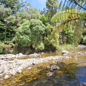
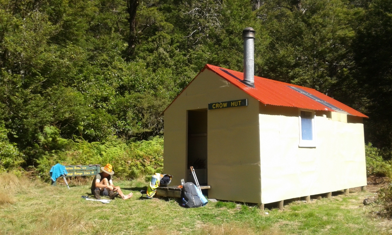
Tramp along the tops until you reach a fork in the track and turn left to descend steeply through beech forest to Crow Hut.From the hut, cross a swingbridge and walk briefly along the river bed. The next section of track rises steeply to the Mokai Patea Range tops. Climb through beech forest, then up an exposed poled ridge described on the DOC website as “slightly hair-raising”.
Despite plenty of slips on the edge of the ridge, the going amongst the tussock is relatively easy when following the fairly visible pole markers. At the Mokai Patea Range, the poled track meandered eastwards towards Wakelings Hut. However, rather than continue, hook a sharp left west and, from here, navigational skills are required to ensure you stay on the tops, which are flat and broad.
After 2-3 hours you reach Colenso Trig, providing more great views of the surrounding ranges and of Mt Ruapehu. There can also be an abundance of miniature alpine flowers and mosses. It’s a simple descent from Colenso back to Kawhatau Base.
NOTE: Permission from local farmers is required to drive to Kawhatau Base at the end of Rangitane Rd. Otherwise a 9.5km track from the bridge at the end of Upper Kawhatau Rd leads to Kawhatau Base.

34 years of inspiring New Zealanders to explore the outdoors. Don’t miss out — subscribe today.

Questions? Contact us