This is a great way to experience Lake Taupo while avoiding the hustle of the town. The K2K heads west from the lakeside village of Kinloch over the peninsula to Kawakawa Bay, where there’s no road access. Set off along a path that runs adjacent to the shoreline and it soon veers away from the shore to go through bush. The track gradually rises and falls several times and crosses numerous streams before reaching the climb over the peninsula.
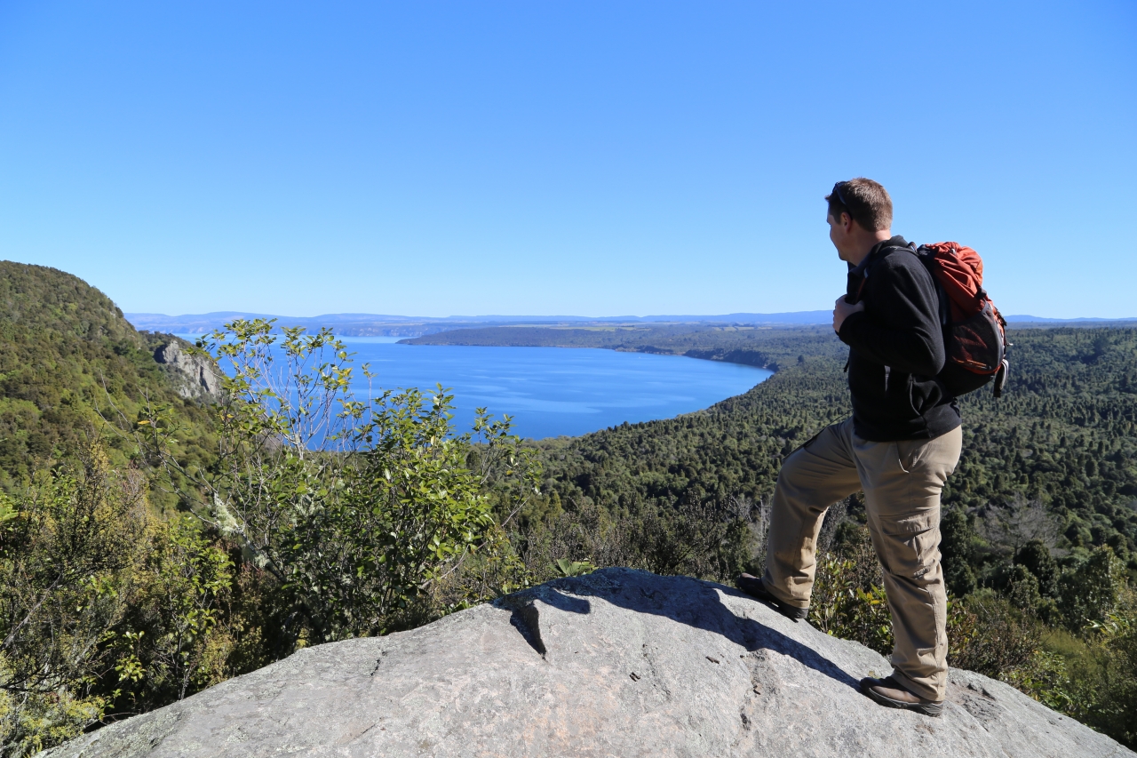
Being designed for mountain bikes, the gradient is always agreeable, but is full of bends. There is the occasional view of the impressive Te Tuhi Point on the Whangamata Bluffs, which drops steeply into the water. But the prime view is a lookout over Kawakawa Bay. The large rock here provides the perfect platform to stop for lunch. The path quickly descends to Kawakawa Bay via some dank, dark gullies which you can hardly imagine the sun,s rays ever touching.
Kawakawa Bay is glorious. A narrow, shingle strip with bush to one side and calm, glistening water the other, below the rocks on the steep slopes of Te Kauwae. There are toilets here and a raised camping shelter with log fire. The track continues close to the water for only 100m or so before heading deeper into the bush and beginning the climb. An innocuous bridge heads over a deep ravine – dropping a long way between a gap in the rock so narrow it’s little more than a crack. It would be easily missed. Soon, two benches provide a rest, if needed, and one of the last panoramas over the lake, this time with the mountains of Tongariro in full view.
The track follows a stream up a little valley, leaving the native bush for mixed forest and paddocks all the way to the car park at Whangamata Road.


34 years of inspiring New Zealanders to explore the outdoors. Don’t miss out — subscribe today.

Questions? Contact us


