Explore rock formations, gullies and kānuka scrubland with magnificent views of several mountain ranges, Lake Dunstan and the Upper Clutha Valley.
The start of the track is just after the entrance to the Bendigo Historic Reserve, with parking at Logantown, 200m from the trailhead.
The walk begins with a gentle incline along the Matilda Battery Track. A glance to the left shows remnants of the area’s gold mining history. The Bendigo quartz reef was once the richest in Otago. Take care and supervise children as there are old, deep mining shafts in the area.
Leaving the ruins behind, turn right off the Matilda Battery Track and after 60m take the left path and drop into a gully. Another 1.5km on, after a stile, the track forks and the loop begins. Going clockwise introduces an undulating path that’s mostly downhill in the latter half of the loop; anti-clockwise puts a steady ascent into the first half of your walk. Either way, the views are a constant reward, with plenty of opportunities to marvel at mountain ranges, Lake Dunstan and the valley of the Upper Clutha River/Mata-Au.
Following the track in the clockwise direction, curious rock formations just before the 3km mark, along with plenty of regenerating kānuka trees, keep the walk interesting and engaging. The area’s original kānuka stands were cleared by miners for firewood and building.
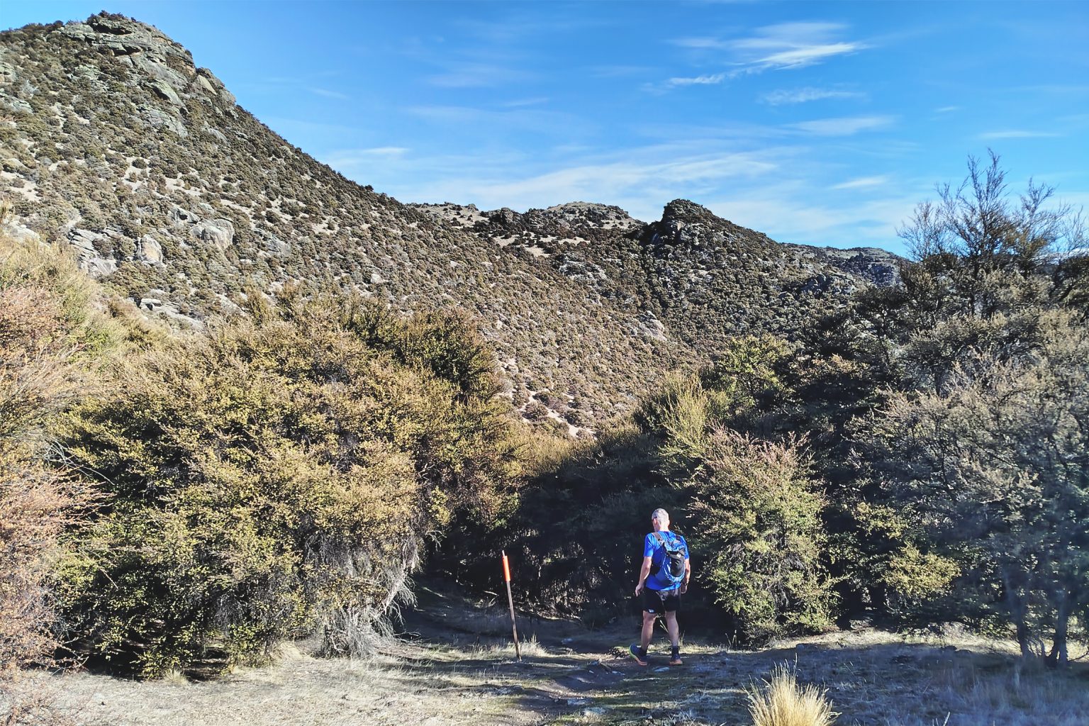
There are a few minor creek crossings with small but impressive gullies where the path narrows, and steep but short uphill segments may be slippery when wet.
Before looping back to the car park, the track follows a fence line and rises to a high point at the 5km mark. Lake Dunstan becomes visible and magnificent views of the surrounding mountain ranges can be enjoyed: the St Bathans Range to the northeast, Grandview Ridge to the north and the Pisa Range to the west.
From here the going is easy and mainly downhill for the next 2km. Towards the end of the loop the track flattens out. Small caves another 200m further on offer opportunity for exploration.
Central Otago can be hot and dry in summer. With its many shady spots this loop is a gem, tucked away from some of the busier tracks in the area. Take plenty of water if doing the track in the heat, however.
The start of Blue Mines Road after turning off from Bendigo Loop Road is steep with the potential to be slippery when wet.