
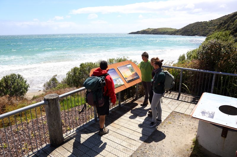
Unwind after your Great Walk or epic circuit on one of these picturesque day walks accessed from Oban.
Rakiura is a walker’s paradise. Lush bush swoops down to pristine beaches, there are native birds galore, and you don’t always have to navigate the island’s legendary mud.
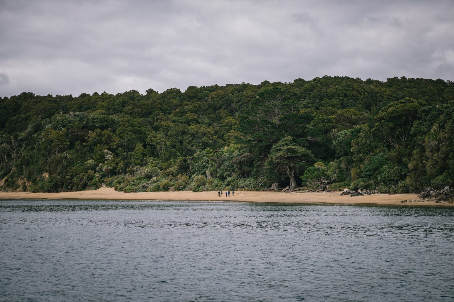
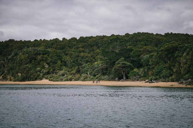
1 Little River and Māori Beach
From Lee Bay, which is the starting point for the Rakiura Track and the North West Circuit, the well-graded gravel track dances around the headlands with views of the ocean and the South Island.
Little River is bridged, or if the tide is low you can walk along the beach. A high tide track is tucked into the bush edge.
Continue for 3.5km to Māori Beach, which has a campsite and toilets.
Grade Easy–moderate
Distance 9.5km return to Māori Beach from Lee Bay
2 Observation Rock
Observation Rock offers sweeping views across Paterson Inlet and is the perfect village-based walk if you want to earn a coffee and a treat from the café. It offers great views at sunset, too.
Walk along Elgin Terrace and turn inland at Ayr Street and continue to Leonard Street. The track to Observation Rock is signposted just after Leonard Street becomes Excelsior Road.
To complete the loop, continue down Excelsior Road to the waterfront.
Grade Easy
Distance 1.5km
3 Golden Bay Track
Golden Bay Track offers access to the western side of Oban. The track starts just before Golden Bay and winds around the coast through bush to Deep Bay, a great place for a picnic.
It’s worth venturing along Wohlers Road to explore Ringaringa Beach. Complete the Golden Bay loop by turning inland at Deep Bay along the marked track back to Halfmoon Bay via Petersons Hill Road.
Grade Easy
Distance 5.8km
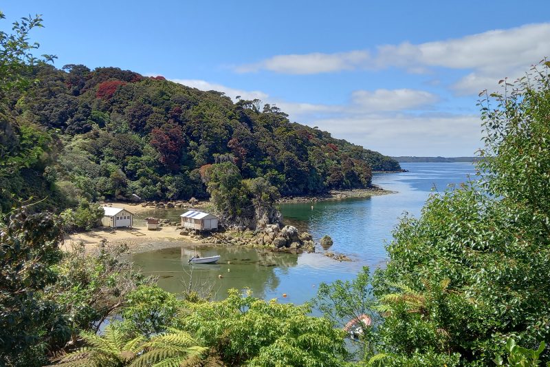
4 Te Wharawhara Ulva Island
This predator-free bird sanctuary is the jewel of Rakiura’s day walks and it is easy to spend half a day here, spotting an astonishing range
of native birds: kākā, weka, kākāriki, tīeke, kēreru, tūī, mohua, korimako, pīpipi, miromiro, pīwakawaka, touwaiwai, tōrea and tītitpounamu. Night tours provide the opportunity to spot kiwi.
The two main tracks lead to Boulder Beach and West End Beach. Keep a sharp eye out for sea lions lolling on the sand.
Grade Easy
Distance 4.5km
5 Garden Mound Track
This pleasant loop starts midway along Lee Bay Road. The narrow and sometimes muddy track winds through mature native forest, but just before the summit, a gap in the trees offers a view to Halfmoon Bay.
After the high point (164m), the track descends the other side and comes out at Little River. Follow the well-graded gravel path back to Lee Bay.
Grade Easy–moderate
Distance 3.8km
6 Fern Gully Track
Fern Gully is a delightful out-and-back bush track. Take Main Road to its end, where Fern Gully track follows Mill Creek through ferns and regenerating bush. Although sometimes muddy, it is suitable for sturdy prams. The end is marked by a clearing and a seat.
Grade Easy
Distance 2.1km return
7 Ackers Point Track
Ackers Point offers a functioning lighthouse, panoramic views over Foveaux Strait, and the chance to see tītī muttonbirds returning to roost on the cliffs below.
Follow Elgin Terrace along the harbour’s edge. You’ll pass Lonnekers Beach from where it’s possible to view Rakiura’s highest point, Hananui Mt Anglem (980m).
Ackers Point Track starts at Jensen Bay and leads along the headland, passing Harrold Bay home to Ackers Cottage, one of the earliest stone dwellings built on the island.
Grade Easy
Distance 3km
8 Ryans Creek Track
Take Golden Bay Road and stop a moment at Golden Bay to enjoy the bustle of Rakiura’s smaller wharf. Continue along Thule Road to Vaila Voe Bay and the start of Ryans Creek Track. The small islands clustered in the bay are the Faith, Hope and Charity Group.
Ryans Creek Track sidles along the coastline. The bush drops right down to the water and is a mix of rimu, kāmahi, ferns and tōtara. Easter orchids can be seen from February to May.
The track turns up Ryans Creek before joining the Rakiura Track. Turn left here to check out Kaipipi Bay, or right to return to the village.
Grade Easy–moderate
Distance 10.5km
9 Horseshoe Point loop
The track starts at the end of Braggs Bay Road, 2.2km from Oban, and meanders around the headland. At the first turn, enjoy views of Sarah Cove, where a small island topped by a single rimu is surrounded by swirling kelp. The track continues to Dead Man Beach – a delightful sandy beach.
Follow the headland to Horseshoe Point, where you can gaze across Foveaux Strait to Motupōhue Bluff Hill.
The track dips into pine forest alongside the shoreline to Horseshoe Bay. Follow the road back over the hill to complete the loop.
Grade Easy
Distance 5km
10 The eastern beaches
Take a water taxi to Lee Bay and enjoy a medley of beaches on the walk back to the village. Follow Lee Bay Road to Horseshoe Bay and follow Horseshoe Bay Road up the hill. Look for the quirky old telephone fixed to the giant rimu at the crest of the hill. Just before Braggs Bay Road, turn left into Moturau Moana Native Gardens, New Zealand’s southernmost public garden. Here there is a picnic area with shelter and a lookout with views over Butterfield Beach.
Continue to Butterfield Beach, which features golden sand and excellent rock-pooling opportunities.
Follow the road to Mill Creek. At mid-to-low tide, take the track on the left after the second bridge to access the golden sands of Bathing Beach, a perfect spot for a swim. A track from the southern corner of Bathing Beach leads through the bush onto Kamahi Road. Continue to the village.
Grade Easy
Distance 5.5km


