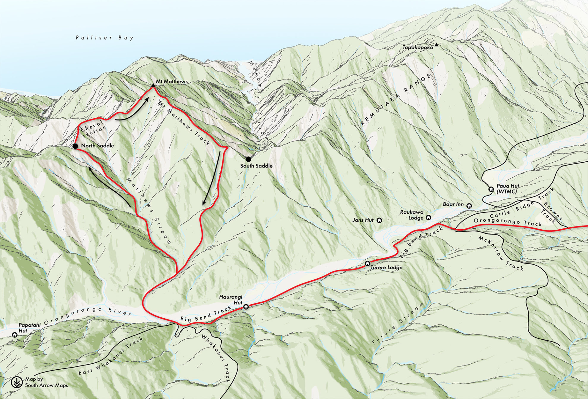
I was leading, working hard to keep tabs on the sometimes difficult-to-spot triangles and weather-beaten pink tape, and excitement was building to get up onto the ridge top. At a steep waterfall, there was no evidence of triangles or tape. The others were taking quite a while to join me so I carried on up what appeared to be the smear of a trail. It also remained in clear terrain, avoiding dense undergrowth to the right.
As I cleared the waterfall Simon emerged from the gut below, shouting for confirmation as to whether or not my route was best. I was starting to question this, so gestured that either to his right (which proved to be the correct route) or following me were options. Going right into dense undergrowth wasn’t appealing, and I wasn’t keen to downclimb, but in such perfect conditions I figured I’d keep climbing until I reached the ridge, then follow it to the right until it led me back along to the saddle, where I’d rejoin the others.
As I climbed towards the ridge, the vegetation became very dense. I picked up pig trails on my knees then stomach, grovelling through gaps in the stout trunks and rotting branches only just wide enough to let me through. Then the bush lawyer made its appearance. The park was feeling less and less like a nice soft pre-amble to the Tararua Ranges.
Reaching the ridge, I was relieved to see the pink triangles reappear. I concluded that if I stuck to them like glue I’d soon be at the saddle. The triangles led off down the ridge, which was exactly what I expected to see.
After about 20 minute’s I sensed I should’ve reached the saddle by now. My altimeter revealed that I’d dropped 250m, placing me below the 620m saddle. Then a clearing in the trees revealed a lovely view of the North Saddle and the entire ridge leading up to Mt Matthews, now above me and stretching off to the distant south. So, back up the bogus spur I went. It was a well-marked pest control line heading 90-degrees off from where I should have gone. Back at 800m and now aware that my instincts had been wrong, I carefully searched and found another pink triangle-marked trail. This time, it led to the saddle. The tiny distant figures of the others were waiting for me at the cheval.
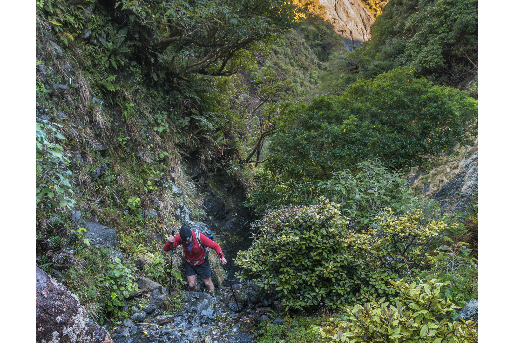
A few more ups and downs and I was with the others. I took a breather while Sefton worked his way across to the mid-point of the exposed section of the cheval. Simon, who had gone across first, was already eyeing up the main challenge beyond the mid-point; it was knife-edged. Stretching perhaps 20m was a steep section of exposed silty rock. It was firm but brittle and, in places, unreliable. On either side of the knife-edge were drops, but the southern side was the biggest menace – certainly a no-fall zone.
Fortunately, it’s possible to drop below the knife-edge on the north side to avoid having to cross it, which is what Caro and Sefton did. Being nimble, Simon made it look quite reasonable, until the final few metres where he resorted to straddling the knife-edge like a horse – just like many climbers do on the Malte Brun cheval. Getting off the knife-edge onto more stable grass-covered ground proved to be the crux.
I followed, testing each hand and foothold before weighting it to make sure it wouldn’t crumble. After some grunting and sweating I also found myself ‘straddling the horse’ just below the grass. I stood up carefully and positioned myself to lunge upward as Simon had done, but I couldn’t quite get into a failsafe position. The cliff on the south side seemed to suck at my back and my tired left leg didn’t feel up to the challenge. I decided this was no place to take a leap of faith so sat back down and bum-slid my way down the north side to join the low trail.
Above the cheval we climbed steeply for about 230m up scrubby, bushy terrain to Mt Matthews. That familiar spot was reassuring and the clear afternoon light allowed us to view the Inland and Seaward Kaikōura ranges to the south.
The Mt Matthews Track is rugged to begin with, but soon becomes a well-trodden trail. We had a problem though: it was now past 3pm and we still had a good 1300m of descent and 11.7km to cover in three hours. A forced march at the end of a hard day wasn’t ideal, but we did manage to hobble into the car park just minutes before the gates were locked.
My Garmin watch told me I’d walked 42,000 steps that day – and so did my thighs. I was barely capable of stairs for several days afterwards. Several toenails also died a miserable death.
We’d learned that the cheval and the route leading to it deserved respect. Even the relatively low-lying Remutaka Range can offer worthy challenges if you choose to take them on.