
Have you ever looked at a map and tried to figure out how long a track is or how high it climbs? Working this out will help you estimate the time it will take. By Heather Grady
Measuring distance
Topo50 maps have a scale of 1:50,000 with the blue grid lines spaced 2cm apart representing one square kilometre. This makes it easy to measure a straight section of track that runs east to west or north to south – it’s just 1km between each blue line.
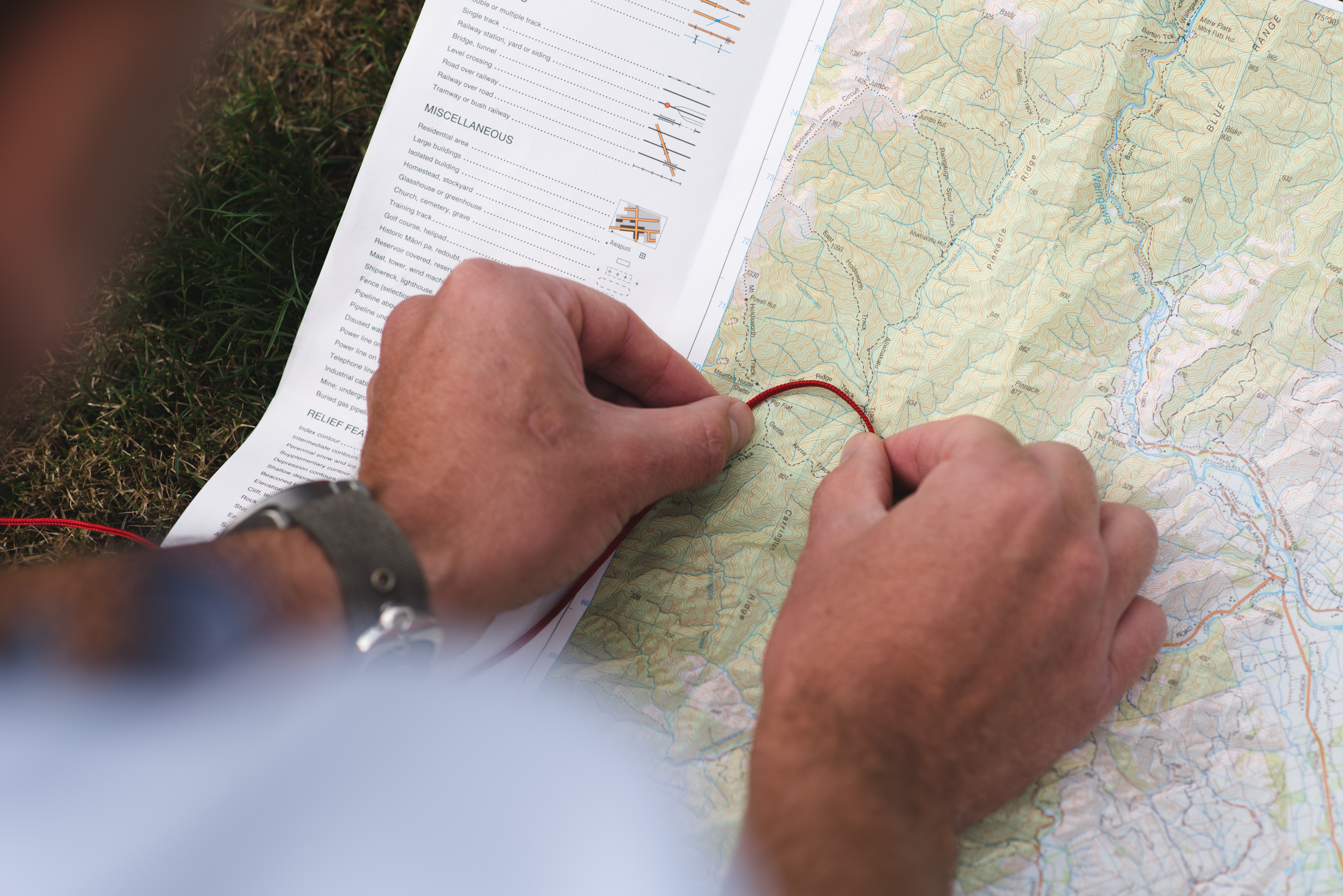
But tracks are rarely straight and while an estimate is usually sufficient for a moderately curved track, a windy track can be measured effectively by using string. The string can be laid over the track on the map and then straightened out to be measured.
Determining height
In Topo50 maps, contour lines are 20m apart and every fifth line, at 100m intervals, is darker and has the height marked.
To calculate the height at one point, find the closest dark contour line. If this line is below your point, then add 20m for each light contour line that is above it. If the line is above the point, then subtract 20m for each light contour line below.
There are spot heights given for some high points – these are heights above sea level. This makes easy reference points to help identify the height of a point nearby.

Calculating height climbed
The difference between the height at two points represents the height climbed up or down. A walk from 320m to 560m with no descents is a climb of 240m (560-320).
That’s easy to work out, but it’s more difficult to calculate when the track undulates and goes from 320m up to 440m then down to 330m before climbing to 560m. At a glance, you might see the difference between the high point of 560m and the low point of 320m is just 240m – but that doesn’t reflect the actual climbing you’ll do.
For the trip pictured, to calculate the height gain and loss between points A and B, the formula would be:
440m-320m = 120m; 330m-440m = -110m; 560m-330m = 230m. The total climb is actually 350m (120m+230m), with an extra 110m descent thrown in. Clearly a much more difficult trip than simply +240m.
– Heather Grady is an instructor with Outdoor Training New Zealand


