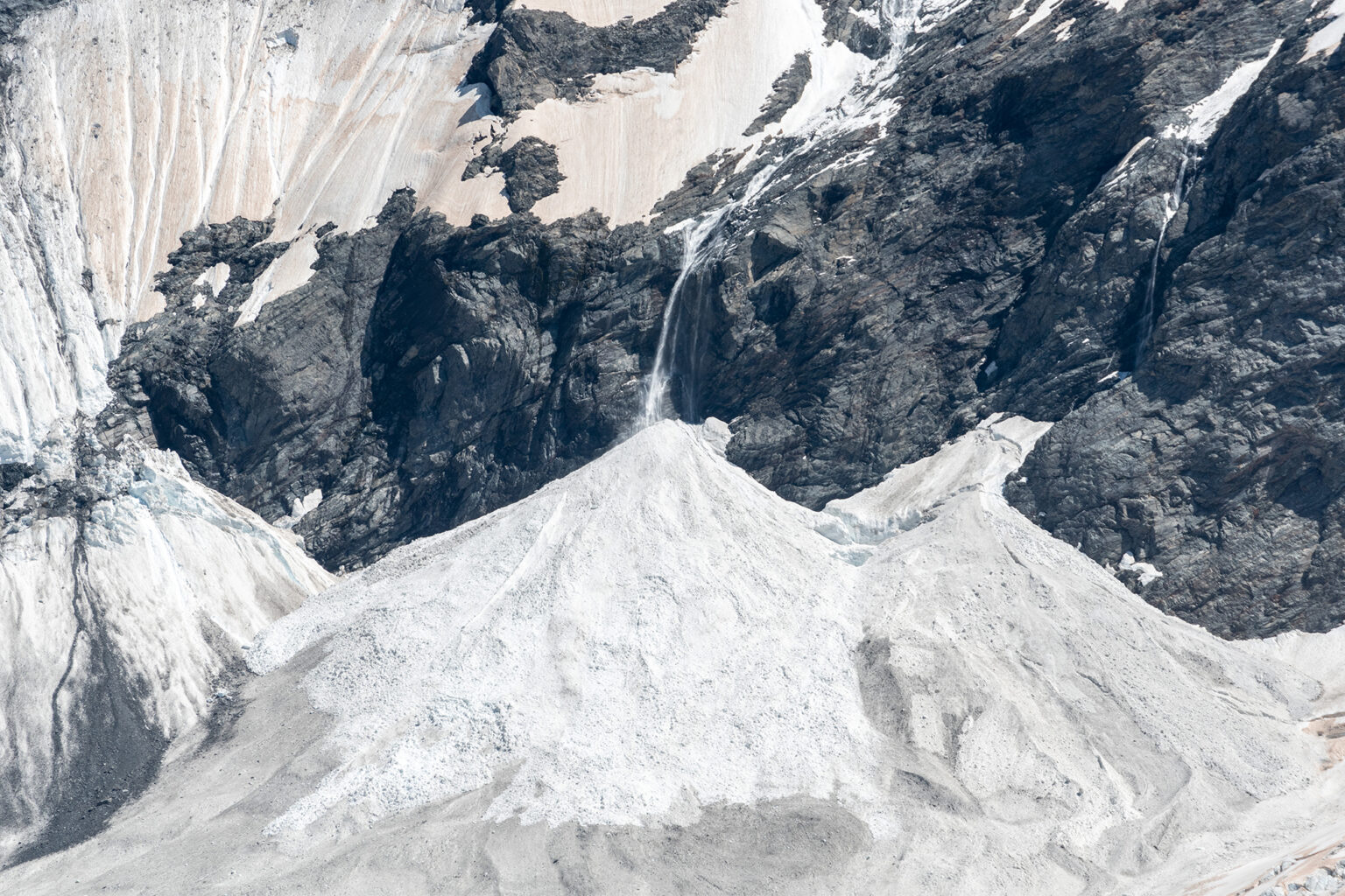
An avalanche advisory trial, run last year in Mt Aspiring National Park, is now permanent. The park will become the 13th avalanche forecasting region in the country.
To assist mountaineers with spring and summer planning, scheduled avalanche forecasting will run to the end of December each year, although this is flexible depending on avalanche conditions.
‘Aspiring’ covers Mt Aspiring National Park, Mt Brewster, Harris Mountains, Treble Cone backcountry and the Main Divide.
The original Wānaka region was difficult to forecast due to the significant difference in the snowcap between the Aspiring area in the west and the forecasting region’s eastern area.
“The decision to split the region was based on a desire to provide the best possible service for the public,” said New Zealand Mountain Safety Council chief executive Mike Daisley.
Adding the Aspiring region means more precise forecasting for Wānaka and Queenstown and will make specific avalanche risks easier to decipher.
Mountain Safety Council’s tips for tramping safely this winter
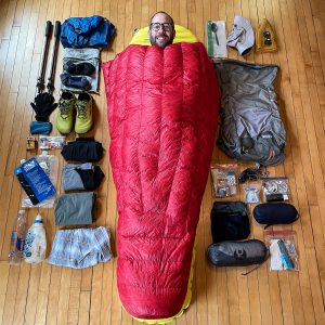
Upgrading to ultralight without replacing everything
Apply for the Shaun Barnett Memorial Scholarship
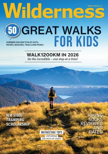
Walk1200km in 2026
Summer hiking clothes
50 great walks for kids
Subscribe!
Each issue of Wilderness celebrates Aotearoa’s great outdoors — written and photographed with care, not algorithms.Subscribe and help keep our wild stories alive.