Linger longer on this attractive loop to Smith Creek Shelter.
Dobson Loop Track skirts Kiwi Ranch Camp, zigzagging up through bush. Within half an hour you’ll arrive at a junction; turn left onto the route leading to Alpha Hut. Keep an eye out for this junction, as the sign is hidden from this approach and easy to miss.
The track climbs gradually through pretty kānuka, beech and liverworts. The way is obvious but the clay underfoot can be slippery. The concrete fireplace of the old Dobson Hut (1954–94) is reached 90min after starting out.
Turn right for Smith Creek. This next section is the most technical of the trip and you will need to watch your footing. It’s also the most rewarding, and you’ll likely find yourself enjoying real solitude.
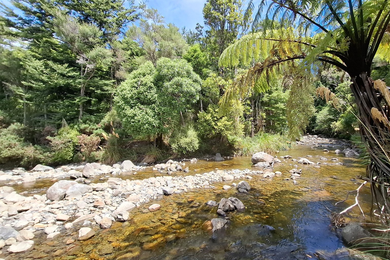
First is a short meander on semi-open tops with fine views of Mt Marchant and east to the Wairarapa Plains, then the bush appears and a 450m descent to Smith Creek Shelter, where Smith Creek joins Tauwharenīkau River. A nice view up the Tauwharenīkau Valley appears just before you reach the bottom. The shelter is about an hour from the old Dobson Hut site.
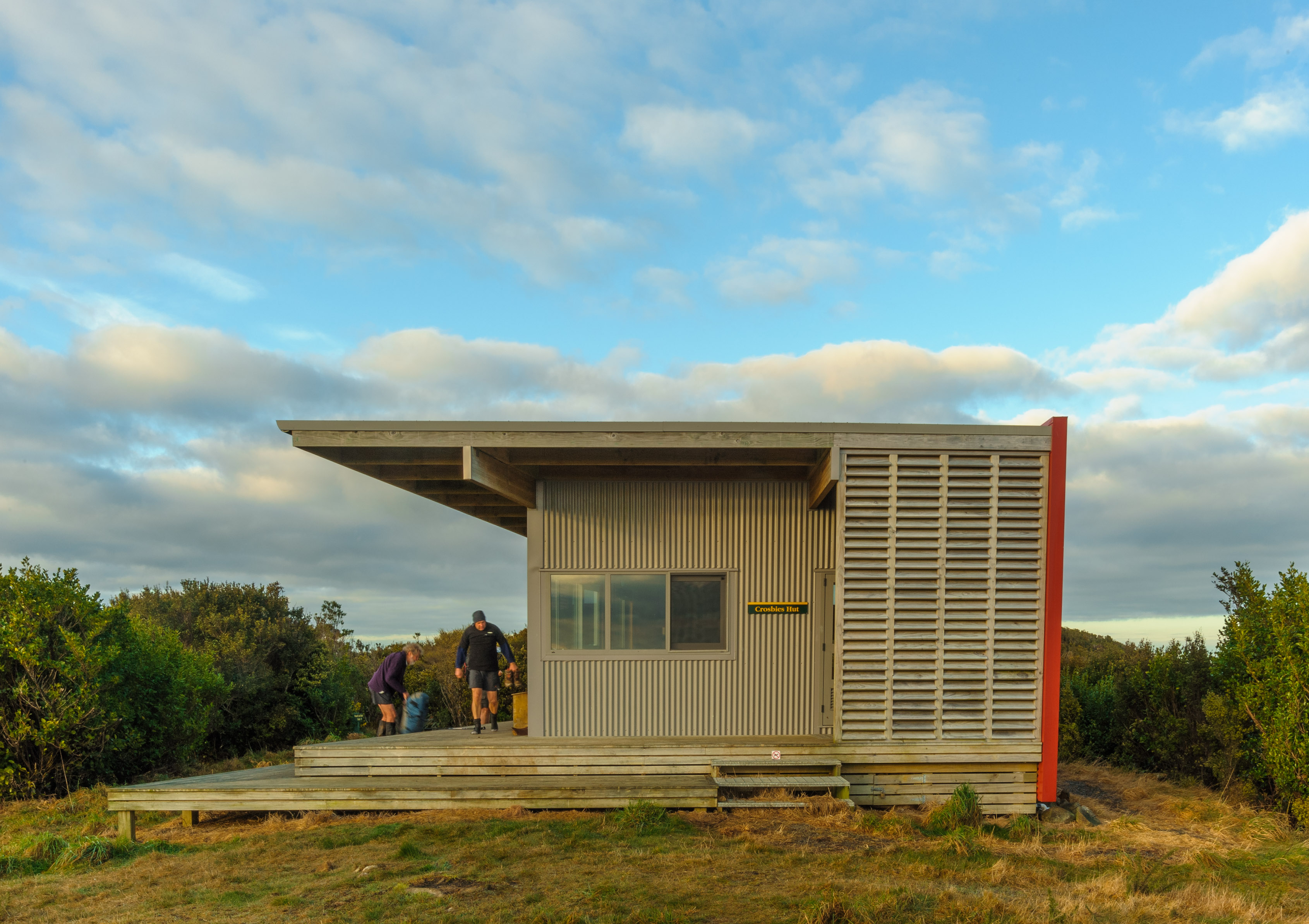
Both the creek and river are wonderful to cool off in on a summer’s day, so build in time to enjoy a decent stop here. Smith Creek Shelter could sleep 8–10 and has a toilet, but it’s a bit gloomy; the nearby campsite is more attractive.
The return track to Kaitoke starts easily before a short sidle around a slip at Fell Creek, at the top of which the track markers are less obvious. If Smith Creek is low, it’s probably less effort to follow the creek than to use the sidle. Otherwise, the track along Smith Creek is easy and benched to Great Walk standard – which is welcome.
A short uphill will take you to Puffer Saddle (465m), a low pass in the North Island’s spine. Ninety minutes after Smith Creek Shelter you’ll arrive at the junction with the route to Alpha Hut. From there, it’s back to the car park.
It doesn’t matter which way around Dobson Loop Track you go – it may depend on whether you prefer ‘steep up’ (anticlockwise) or ‘steep down’ (clockwise, as described here).