Venture into the east coast backcountry and stay the night in a classic six-bunk hut.
Waioweka Conservation Area is a 39,200ha bush-clad expanse of public conservation land, south of Ōpōtiki, which adjoins the vast Te Urewera to the west. It includes a large part of the Waioweka River catchment.
An hour and a half’s drive from Ōpōtiki, deep within steep hill country and at the end of narrow gravelled Moanui Road, a DOC car park marks the beginning of the track leading to both Tawa and Koranga Forks huts. DOC advises there are three track washouts within the first kilometre of track that follows the Koranga River from the Moanui roadend car park. These are passable but require care.
Koranga Forks Hut is a shorter and easier walk beside the Koranga River (8km and 2–3 hours). If combined with walking up Kahunui Stream to Tawa Hut, it makes an interesting two to three-day loop (when stream levels are not high). The area is also popular with hunters.
However, Tawa Hut is a worthwhile objective in its own right. The track follows the Koranga River for the first 800m to a swingbridge leading to Tawa Hut Track.
Cross over and follow the track on steep farm roads up what is known as ‘the burn’. Views across the farmland unfold as you climb.
After about an hour and a 350m climb you will reach a fenceline that marks the boundary between farmland and the conservation area. It’s downhill all the way from here.
The well-formed track makes its way west for 2.5km through lush bush down to and alongside Kahuiti Stream until meeting the junction with the track to Kahunui Hut at the confluence of Kahunui and Kahuiti streams. Kahunui Hut is about 3hr upstream.
Continue heading west for another 800m to a second junction with the route south to Makakoere Hut.
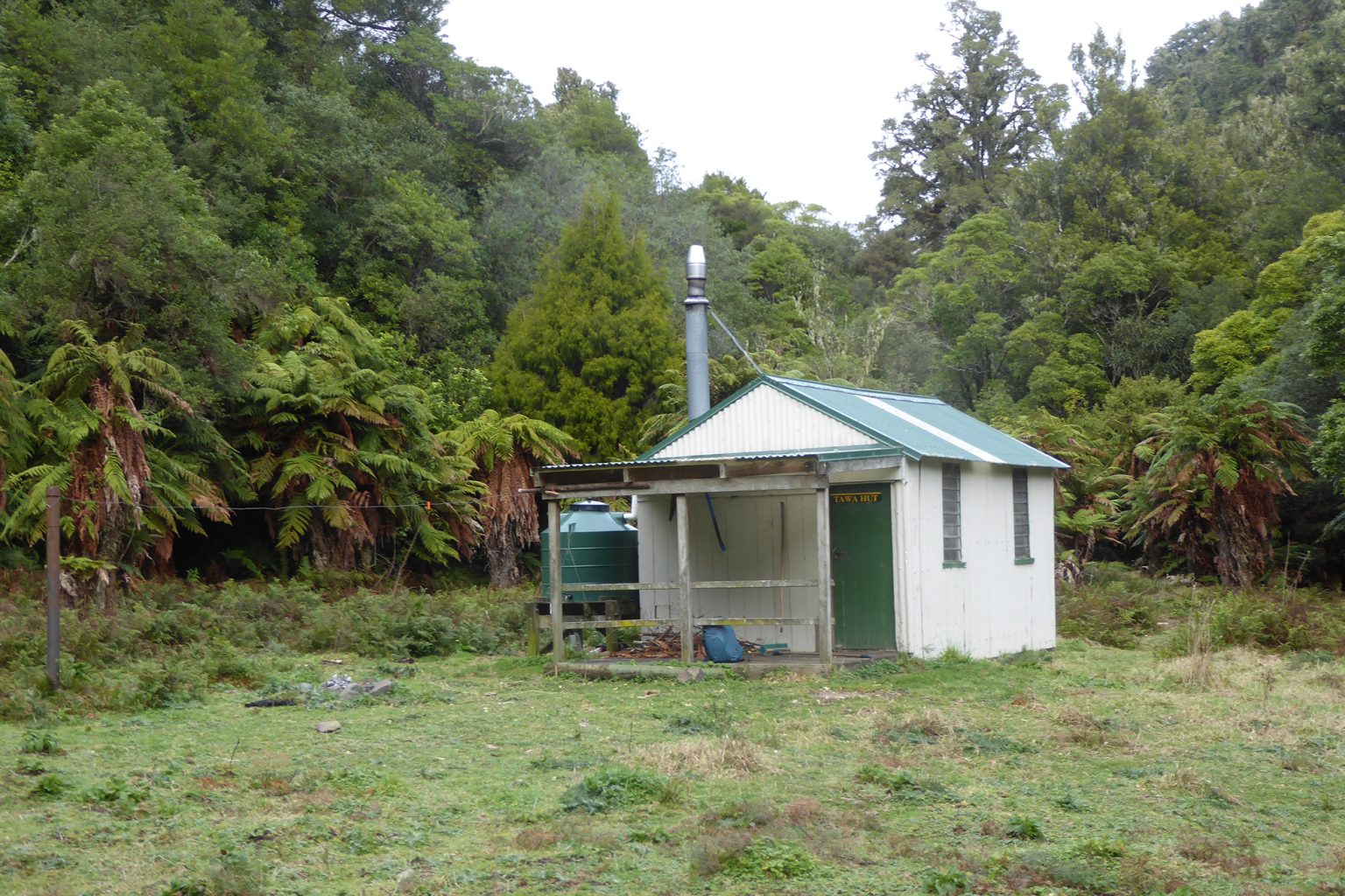
At this junction, veer north along flats for 500m to Tawa Hut, which is located in a grassy clearing above Kahunui Stream. The hut and the Moanui Road car park are at much the same altitude, so expect the return journey to take about as long as the trip in.
Distance
16km return
Total Ascent
573m
Grade
Moderate
Time
4–5hr
Accom.
Tawa Hut (standard, 6 bunk)
Access
Turn off SH2 onto Te Wera Road at the Motu River bridge. After a kilometre, turn right into Moanui Road and drive 18km to the car park.
The Wilderness 40 Best Huts: 12 Top North Island Huts
Taking on the Tin Range
Subscribe!
Each issue of Wilderness celebrates Aotearoa’s great outdoors — written and photographed with care, not algorithms.Subscribe and help keep our wild stories alive.