


- Distance
- 23.6km
- Total Ascent
- 2229m
- Time
- North Block Rd to Waikamaka Hut via Waikamaka Saddle, 4-5hr; To Waterfall Hut via Rangioteatua 6-8hr; To North Block Road via Wakamaka Hut, 6.5hr
- Grade
- Moderate
- Accom.
- Waikamaka Hut (fee by donation, 10 bunks); Waterfall Hut ($5, six bunks
- Access
- From North Block Road end
- Map
- BK36, BL36
- Notes & Map
- Waterfall Hut via Waikamaka Hut (pdf, 17 MB)
- GPX File
- Waterfall Hut via Waikamaka Hut (gpx, yo 41 KB)
- Your device does not support GPX files. Please try a different device.
From North Block Road end, go up the greywacke staircase of the Waipawa River, heading for Waipawa Saddle, which is a clearly defined like a scoop. Above it rise the crags, screes and slips of Te Atuaoparapara. Sub-alpine scrub dominates the upper slopes – goat tracks can be a way to avoid the worst of it.
From the saddle, the eight-bunk Waikamaka Hut is only an hour or so down the valley. Waipawa Saddle separates two watercourses that could not be more contrasting. The Waipawa River is a place of open boulder riverbed, as well as exotic weeds like lupin and buddleia. It’s a gravel highway of easy tramping. In contrast, the Waikamaka is a narrow, meandering stream, beginning with twin waterfalls, between which the track descends a narrow, poled ridge. The stream flows delightfully down a series of cascades, pools, riffles and rapids. Native alpine plants abound, notably among them the buttercup Ranunculus insignis and koromiko, flowering prolifically with its delicate white blossoms, tinged with purple.
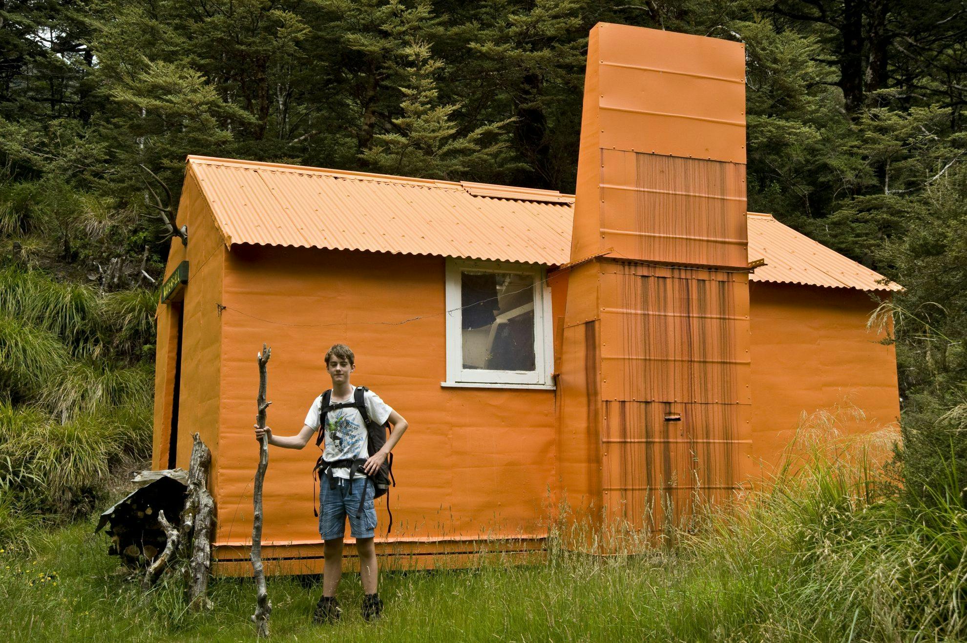
Waikamaka Hut sits above the confluence of Rangi Stream and the comfortable and roomy Waikamaka, built in 1939 by the Heretaunga Tramping Club.
From Waikamaka Hut, the shortest option to Waterfall Hut is to follow the river route up Rangi Stream and over Rangi Saddle to the Kawhatau, which would take about three hours. To make a day out of it, a longer route (shown on this map) involves retracing your steps to Waikamaka Saddle from where a barely discernible route towards the Three Johns can be taken. The tops bring increasingly good views over the interior of the Ruahine Range. On reaching the tops, continue to Rangioteatua; one of the higher peaks of the Ruahine Range at 1704m.
The tussock here is surprisingly dense and deep, with some ankle-catching holes and a profusion of speargrass hidden like man-traps in the softer vegetation. Higher up, there is easier travel with more open terrain, vegetable sheep and rocks mingling with moss and other alpine herbs.
From Rangioteatua, descend to Rangi Saddle. It’s steepish, but not unduly so, except for one small section where the route drops into a rocky gut to avoid a small bluff.
A good track leads into Rangi Creek then onto the Kawhatau River, where the route heads upstream on easy river flats to Waterfall Hut.
From Waterfall Hut, retrace your steps to Rangi Saddle, then pick up the track into the Waikamaka. Sporadic poles wend through scrub and spaniards, crisscrossing the stream, before reaching beech forest and a narrow track leading back to Waikamaka Hut.
Then it’s over Waipawa Saddle to reach the Waipawa River and back to North Block Road end.
