


- Area
- Waipunga Conservation Area
- Distance
- 6.05km
- Time
- 2-3hr
- Grade
- Easy/Moderate
- Accom.
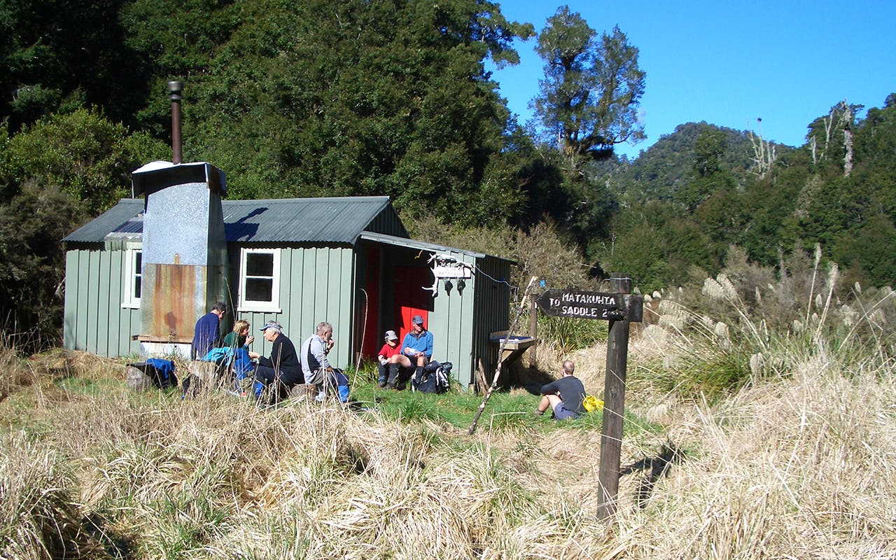
- Upper Matakuhia Hut (free, eight bunks)
- Access
- Approximately 3km along Pine Milling Rd. Pohokura and Waipunga roads are the public access roads from the Napier-Taupo Highway. Check with DOC Murupara about access from Minginui via South and Boundary roads
- Map
- BH38
- GPX File
- Upper Matakuhia Hut Trac (gpx, yo 3 KB)
- Your device does not support GPX files. Please try a different device.
Signposted from the now non-existent Matakuhia Saddle Hut, the track weaves its way through thick stands of toi toi, over large treefalls and a few streams.
The final hour to the hut is a gentle amble along the forest floor on the true-left of the Matakuhia Stream.
