


- Area
- Ahuriri Conservation Park
- Distance
- 4.78km
- Time
- 3-5hr
- Grade
- Moderate
- Accom.
- Top Dingle Burn Hut, (free, six bunks)
- Access
- Up the Ahuriri Valley, via Birchwood Rd^ off SH8 south of Omarama, into the Ahuriri Conservation Park
- Map
- BZ14
- GPX File
- Top Dingle Hut (gpx, yo 5 KB)
- Your device does not support GPX files. Please try a different device.
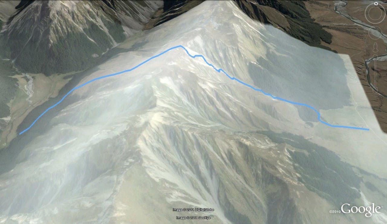
Top Dingle Hut, in the Dingle Burn, is well placed for an overnight visit from Christchurch.
Tramp up over the low saddle out of the Ahuriri, a 600m climb to 1448m.
The descent is easy into the Dingle Burn, another 600m below.
The hut is tucked into the bush edge, boasting a porch, six bunks, a log fire, a small stream outside and fine views of the Huxley Range.
