


- Area
- Tararua Forest Park
- Distance
- 6.54km one way
- Total Ascent
- 798m
- Time
- 6-8hr return
- Grade
- Moderate
- Access
- Fenceline car park at the end of Otaki Forks Road
- Map
- BP33, BP32
- GPX File
- Pukeatua Track, Tararua Forest Park (gpx, yo 26 KB)
- Your device does not support GPX files. Please try a different device.
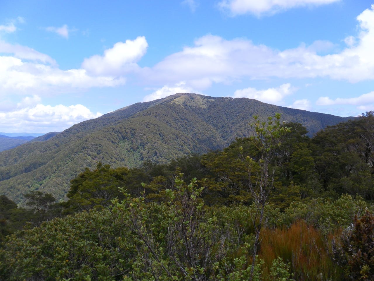
A tramp to Pukeatua, 812m, on a clear day promises magnificent views.
Starting at Otaki Forks, you quickly gained altitude for the first 30 minutes, climbing steeply among kamahi and tree ferns as the track winds in and out of small clearings.
Then, the steepest part of the climb over, wander through larger grassy clearings, remnants of logging days. An hour into the walk you enter regenerating forest; fallen trees and upended root systems which sprout multiple trunks of kamahi and mahoe trees.
The fact you’re climbing is now barely noticeable except for the changing vegetation which becomes more ordered as you move deeper into the bush.
Near the top a few views appear, but still the track seems to wind on and on until finally you step out of the goblin forest onto Pukeatua, where it,s a short tramp through scrubby landscape to the summit.
There are expansive views of Tabletop, Mt Hector, parts of the Southern Crossing and Kapakapanui.
