


- Area
- Hakatere Conservation Park
- Distance
- 23.8km
- Total Ascent
- Moderate
- Time
- 3 days
- Grade
- Moderate
- Accom.
- Pinnacles Hut, 19 bunks; Woolshed Creek Hut, 26 bunks
- Access
- Flynns Road, Staveley
- Map
- BX19
- GPX File
- Mt Somers Track from Staveley (gpx, yo 82 KB)
- Your device does not support GPX files. Please try a different device.
Unlike most of the greywacke-dominated Canterbury Alps and foothills, Mt Somers comprises rhyolitic basalt – reflecting its origins as a volcano.
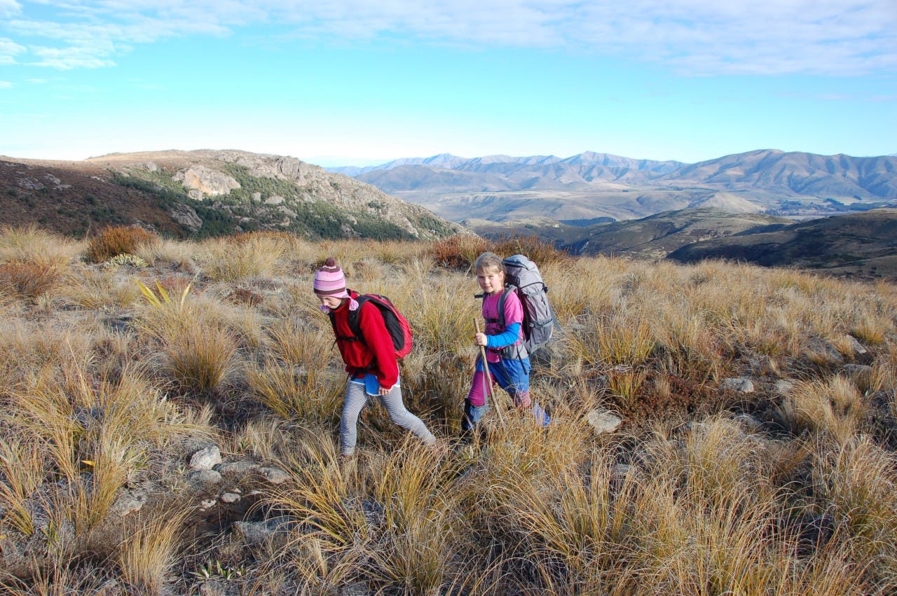
The Mt Somers Track encircles the mountain, with two huts en route. Kids will enjoy the variety on this tramp; bush, waterfalls, tops, caves and rivers.
From Flynns Road entrance, the track climbs through beech forest in the Bowyers Valley to reach Pinnacles Hut, set beneath the steep volcanic columns of Mt Somers. Beyond, the track climbs over a saddle, past waterfalls, before descending to Woolshed Creek Hut.
The final day traverses the western and southern flanks of Mt Somers back to Flynns Road, with a side-trip to the summit of Mt Somers (1688m) possible en route.
