


- Area
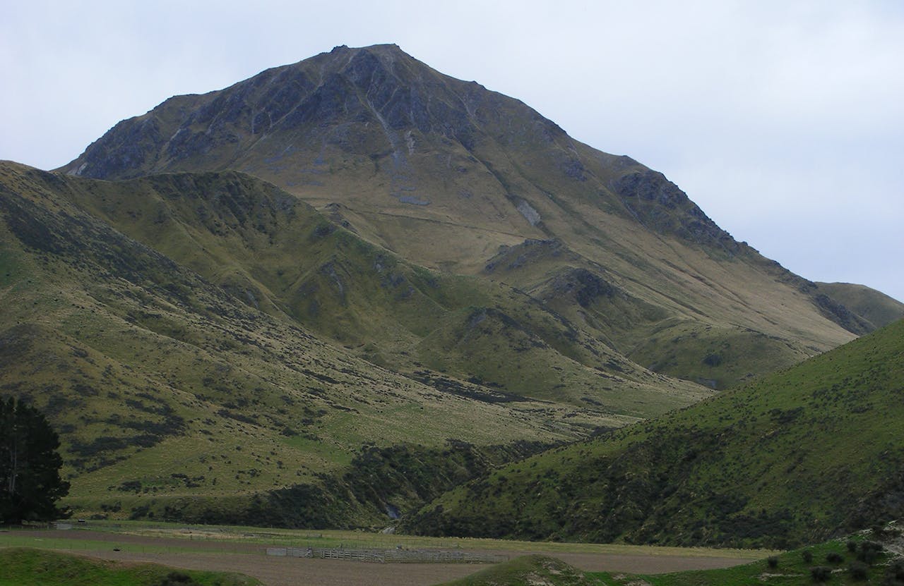
- Otekaieke Station, near Oteake Conservation Park
- Distance
- 4.46km
- Time
- 5hr
- Grade
- Moderate
- Access
- 3km north-east of Danseys Pass^ take the farm track to the north as far as the river flats
- Map
- CB17
- GPX File
- Mt David (gpx, yo 2 KB)
- Your device does not support GPX files. Please try a different device.
After gaining permission from Otekaieke Station (03 4311 881) cross the Otekaieke River and take the farm track until it peters out.
Angle right to a gully leading towards the skyline.
Around the 1100m contour join the ridge to the false summit and then it’s on to Mt David proper.
There’s a large cairn at the summit to shelter behind.
