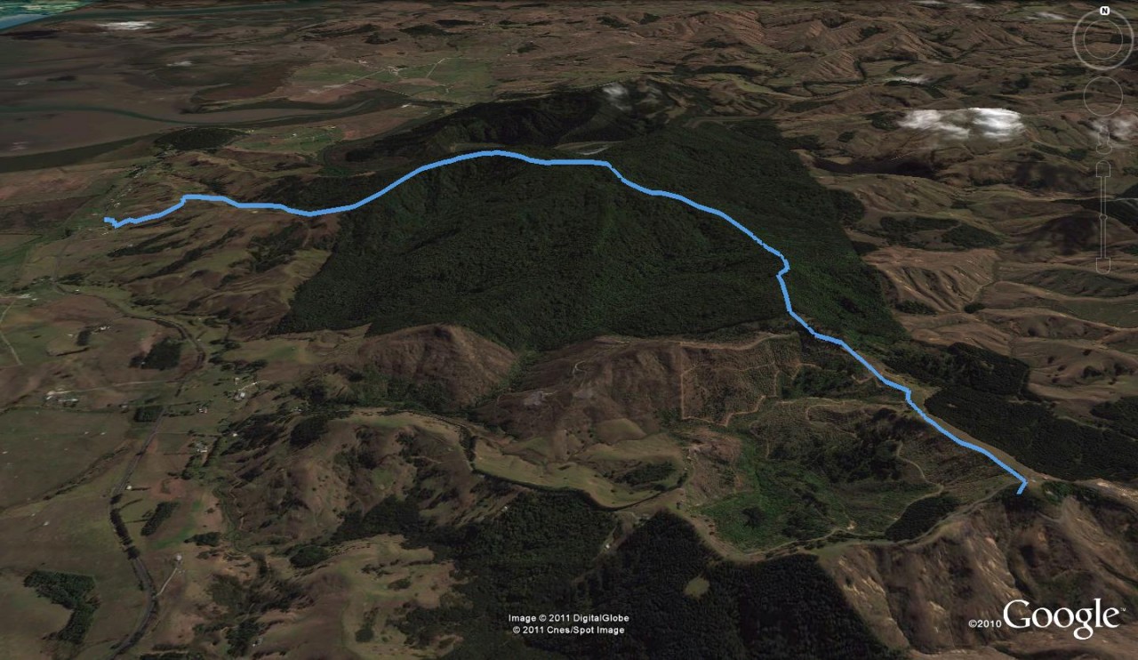
A well-marked track climbs a logging road through pines to a hilltop barn, then drops to reach a small saddle.
After about 20 minutes there is a DoC signpost near the bush fringe.
After 10 minutes in open rainforest, a detour leads down a 200m spur to a stand of mature kauri.
The summit trig (305m) is gained after 90-minutes. A poled route drops through private property and ends under a grove of macrocarpa on SH16. Allow 45 minutes from the trig station.
(Note that access through this farm is closed for lambing from August – September.)


34 years of inspiring New Zealanders to explore the outdoors. Don’t miss out — subscribe today.

Questions? Contact us


