


- Area
- Hunua Ranges Regional Park
- Distance
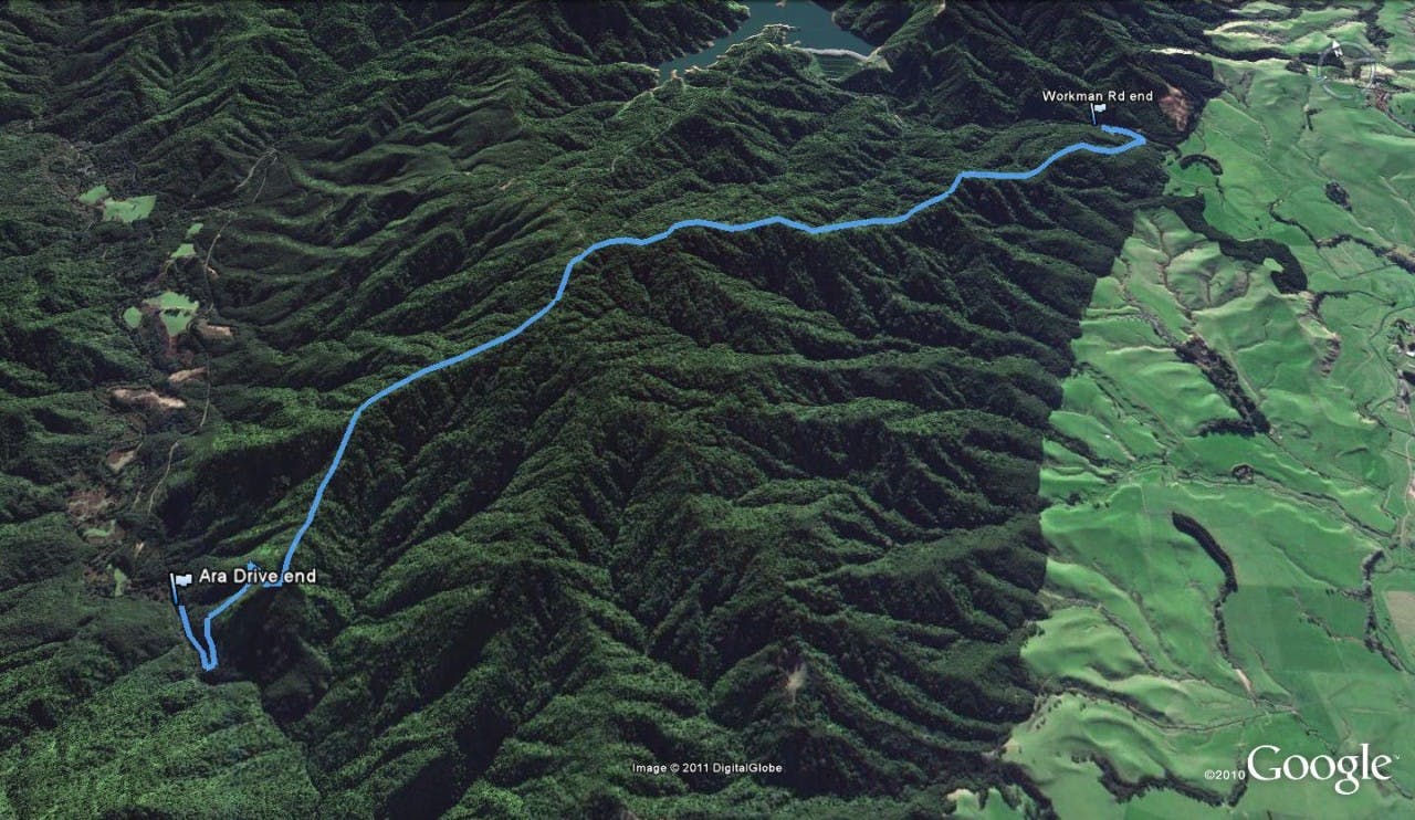
- 13.2km return
- Time
- 5-7hr
- Grade
- Easy/Moderate
- Access
- From SH2, follow Mangatangi Rd until it becomes Kaiaua Rd. Turn left onto Workman Rd. The track starts just after the bridge.
- Map
- BB33
- GPX File
- Mangatangi Track (gpx, yo 4 KB)
- Your device does not support GPX files. Please try a different device.
The Hunua Ranges are often referred to as the poor cousin of the more visually spectacular Waitakere Ranges.
The Mangatangi Track, with it,s trig at 487m, offers one of the best vantage points in the park, with views extending over the Firth of Thames to the Coromandel Range.
The track itself is relatively easy going, gaining 300m over the 3.5km from the Workman Rdrend to the summit.
Continue along to the Ara Drive road end for a full day’s there-and-back tramp.
Keep a beady eye out for the historic remnants of logging in the area.
