


- Area
- Arthur's Pass National Park
- Distance
- 14.8km
- Time
- 2-3 days
- Grade
- Moderate
- Accom.
- Edwards Hut, 16 bunks
- Access
- Greyness' Shelter, 4.5km east of Arthurs Pass
- Map
- BV20, BV21
- Notes & Map
- Amber Col_Via Edwards Hut (pdf, 457 KB)
- GPX File
- Amber Col (gpx, yo 44 KB)
- Your device does not support GPX files. Please try a different device.
Start at Greyney’s Shelter, just west of Klondyke Corner, and cros the the Mingha and Bealey Rivers at their confluence. This is easy in low flows but can be dangerous after rain.
Safely on the other side, markers beckon trampers into the gloomy forest and the entrance to the Edwards Valley. Continue up the Edwards towards Edwards Hut, past the East Edwards tributary.
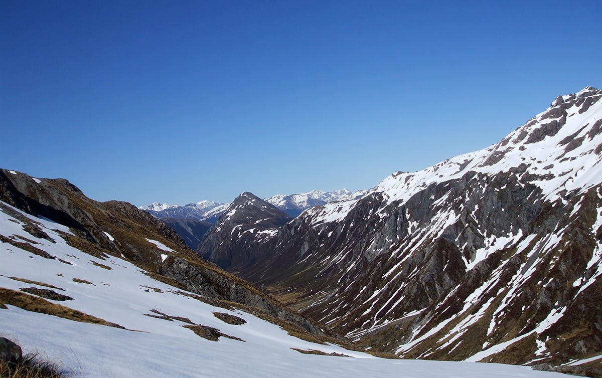
The route climbs to bypass a gorge and emerges into a tussocky area with alpine meadows. Edwards Hut is just ahead. Stay the night here or push on and camp further up valley.
The route crosses the Edwards numerous times but by this stage will be little more than a shallow stream. You can head directly towards Amber Col, up the ridge leading to Pt 1731, or, as this route describes, skirt around the base of the ridge heading north for an extra kilometre or so until the second tributary on the right. Head up here, beneath Falling Mountain, towards a small tarn and across o Amber Col. Return the same way back to the hut or your campsite.
Follow the same route back to Greyney’s Shelter.
