


A wrap of the biggest stories and best writing about the outdoors from New Zealand and around the world.
Stewart Island’s tracks are in a poor state, with the island’s Great Walk – the Rakiura Track – being singled out for criticism both from locals and visitors. Yet no one’s quite sure how to fund their repair.
DOC would like to use money from the island’s visitor levy. This is about to increase from $5 to $10, then to $15 in 2025, and is used to improve infrastructure.
But Southland District Councillor, and Rakiura local, Bruce Ford says the levy is not for the improvement of the Great Walk, and that the funding for that needs to come from central government.
DOC had asked for $425,000 from the levy, but it’ll have to look elsewhere if we’re to see the track improve in the coming years. Read more about this at the ODT.
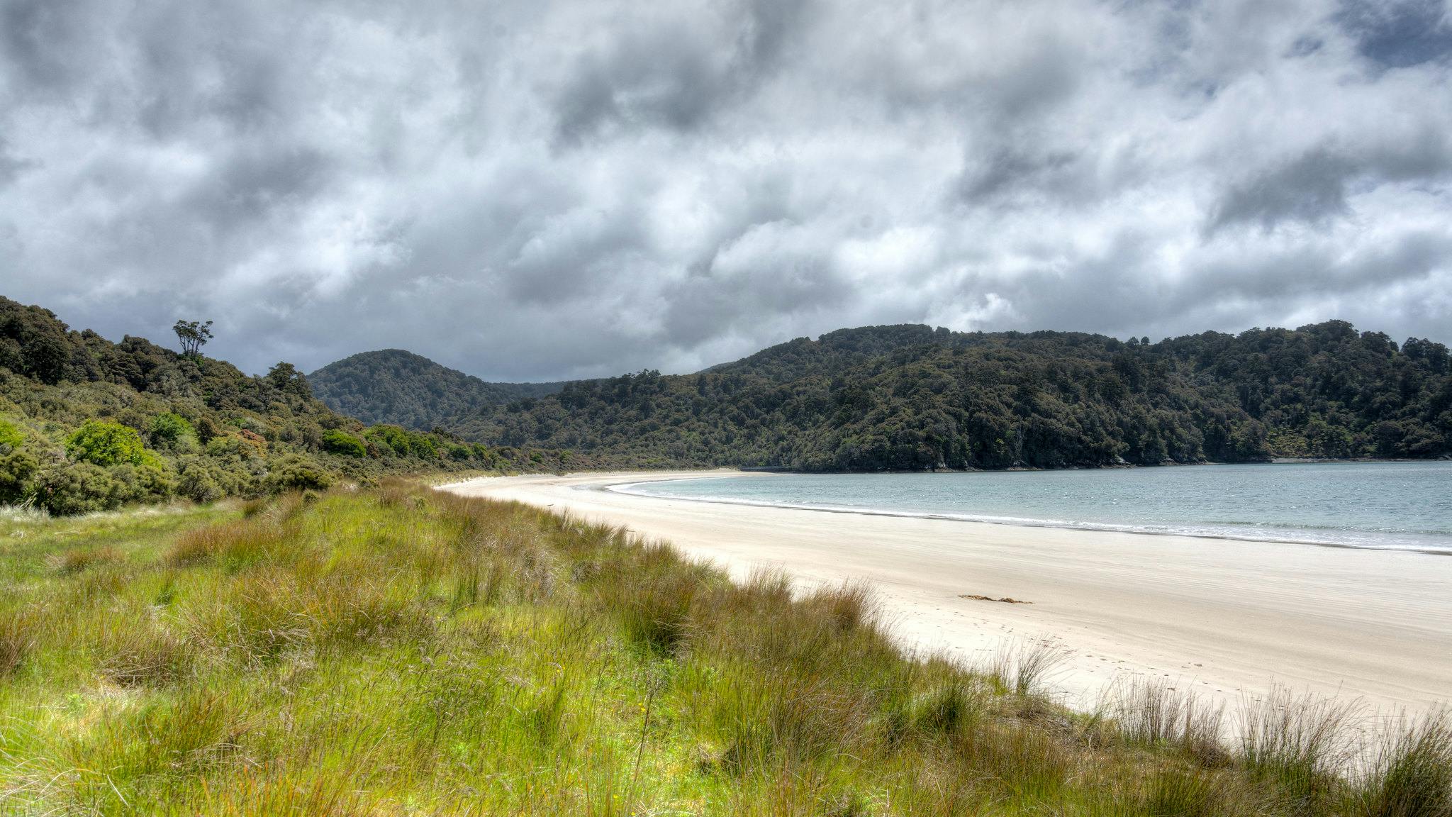
Proposal to double size of national park
Paparoa National Park could soon be twice the size if recommendations are accepted by the government.
The nationwide review on stewardship land is currently focussing on the West Coast, and the panel of experts have also proposed creating a historic reserve for Ngāi Tahu, and selling off 66 hectares of land.
Stewardship Land is land that has been awaiting reclassification – much of it for more than 30 years – and the review is intended to sort things out quickly.
The proposal will go to public consultation before a final decision is made by the Minister for Conservation. Read more at Stuff.
Climate change making Pacific Crest Trail ‘all but impossible’
One of the world’s great long distance hikes is being destroyed by climate change, and may soon become a thing of the past. The situation is so severe that the trail’s association is now moving its priorities from trail improvements to curbing the destruction brought about by rising temperatures.
The Pacific Crest Trail is a 4265km trail from Mexico to Canada, and takes walkers through a huge variety of terrains from desert to alpine ranges.
Recently, trampers have been forced off the track by wildfire smoke. Those who avoid this will still have to endure the charred landscape from past fires, and the most mountainous sections have less snow and ice on which to feast the eyes compared to yesteryear.
It’s thought that in future heatstroke will become an increasing issue and streams may dry to the point where there are 60km gaps between where hikers can fill up with water. Read more here.
Right of way easement is no paper road replacement, say trampers
Not for the first time, the Manawatū District Council is considering closing off a paper road that provides access to Ruahine Forest Park.
The council tried to close a section off Opawe Road, north of the park, in 2013, but public reaction was so strong they decided against it. But now there are fresh plans to replace this same section with a pedestrian right of way easement.
This would follow a poled route, taking walkers away from a farmhouse, before linking with the paper road again to access the forest park.
But trampers and others who use the park say it could leave them without access in the future, and that this could set a precedent for similar decisions elsewhere. Read more at Stuff.
New trail links Switzerland’s mountains, lakes and meadows
If you’re planning a trip to the European Alps and have romantic visions of snowy peaks, mountain chalets and wildflower meadows, then you might be interested by this brand new trail.
The 300km ViaBerna connects some of Switzerland’s most stunning spots, starting at the Jura Mountains before reaching the medieval city of Bern, then alongside romantic rivers, lakes, gorges and meadows, before heading through the Alps via Susten Pass.
The walk consists of 20 stages, each between 10km and 25km, and the ViaBerna website rates each section from easy to difficult to give you an idea of what you’ll be facing.
