


Tawharanui Regional Park, Auckland
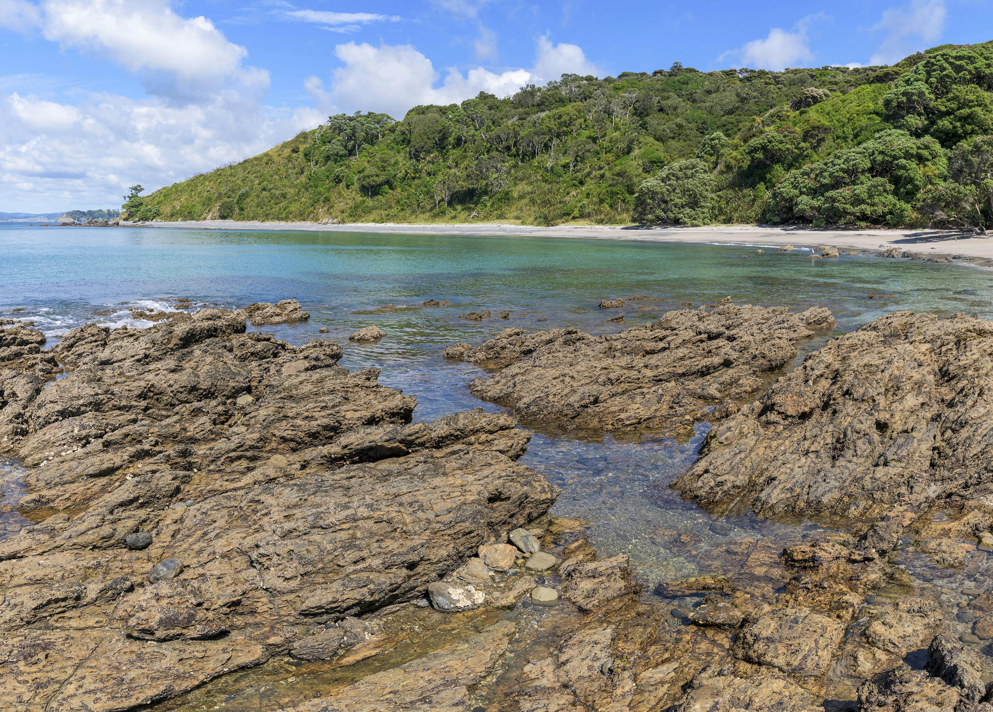
The Tawharanui Peninsula points like a finger out into the Hauraki Gulf, as if to indicate the offshore islands; Little Barrier, and the more distant outline of Great Barrier.
The peninsula was farmed until the 1970s, but is now part of Auckland’s regional parks network, and must count as one of the area’s best. Pest-control efforts by rangers and local conservationists, as well as a predator-proof fence, mean the native animals here enjoy greater protection than many other coastal areas. As well as common native species of bird, you’ll likely encounter tieke (North Island saddleback), pateke (the endangered brown teal) and New Zealand dotterel.
To enjoy a half-day walk that takes in most of the park’s scenic highlights, begin from the Lagoon car park. At low to mid tide, traverse along the Maori Bay coastline, where white sandy beaches intersperse rocky headlands. Kawau Island looms across the narrow channel. At Maori Bay, a series of stairs climbs to the South Coast Track, and the open, farmed grasslands of the peninsula’s spine. A worthwhile addition is the hour-long circuit around the Takatu Point loop track, with its views of craggy cliffs, draped by precariously-perched pohutukawa.
To reach Anchor Bay, the area’s main surf beach and picnic spot, take the North Coast and Ecology tracks. From where the Ecology Track first reaches the coast, a worthwhile detour is a short walk to visit North Cove to enjoy its views of Little Barrier Island.
- Grade
- Easy
- Time
- 4.5-6hr to complete the circuit described. Plan the walk around the tides
- Access
- From Takatū Road end, near Matakana
- Map
- AZ32
GPX File
- Tawharanui (gpx, 10 KB)
GPX File
- Your device does not support GPX files. Please try a different device.
