


This tip’s good if you’re out in the field without a GPS and you need to work out how far you have to go. All you need is a piece of string or, failing that, a boot lace.
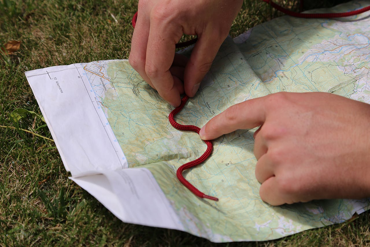
Photo: Alistair Hall
Starting from one end of the string, carefully lay it on the map following all curves in the track.
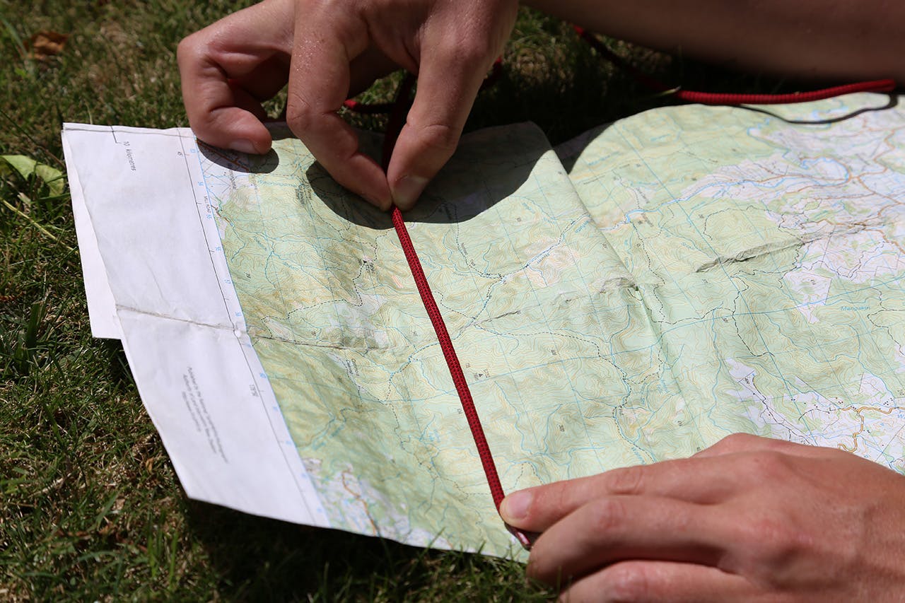
Photo: Alistair Hall
When you’ve finished, mark it on the string with pen or simply hold it at the correct point between finger and thumb. Lay it straight across your topo map using the grids to measure the distance (1 square = 1km).
