


- Time
- 5-6hr
- Grade
- Easy
- Access
- Mangapiko Valley Rd or Ohinewai Rd
- Map
- BC34
- Links/Files
- Download the route notes, maps and GPX file
Hapuakohe Walkway (southern section), Hapuakohe Range
While searching for a place to tramp with a pretence of altitude within coo-ee of Auckland, I fell upon the unusual Hapuakohe Range in north Waikato.
There’s something about this range – its location and long narrow shape – that makes it both easy to miss and appealing once discovered. The range is made up of three blocks of public conservation land: Matahuru Scenic Reserve, Mangapiko Valley Scenic Reserve and the trackless Hapuakohe Ecological Area – a total area of 2627ha.
The 18km Hapuakohe Walkway runs on a north-south axis from North Rd near Mangatarata to Mangapiko Valley Rd near Waiterimu and is bisected by Ohinewai Rd. The northern end of the walkway is longer, taking about eight hours to complete while the southern end takes about five hours.
As luck would have it, only a few days after discovering the range online, I joined the Auckland Tramping Club on a day trip along the southern end. We set off in the club’s Big Blue bus at 8am and arrived at the Mangapiko end of the southern section about 90-minutes later. This is the better direction to do the southern section as it offers a more gradual climb.
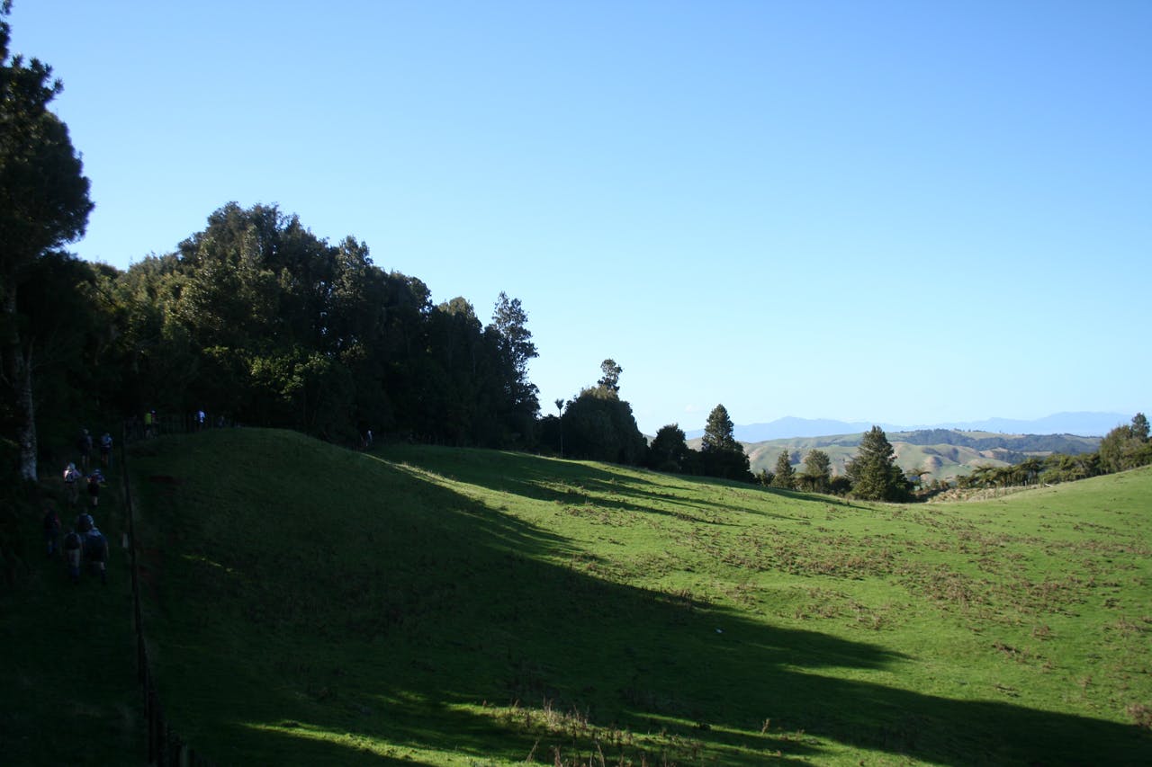
From the road, the track follows a farm track besides Mangapiko Valley Stream and crosses two small streams before entering Mangapiko Valley Scenic Reserve. On the way up there are a few glimpses of the hilly farmland surrounding the valley. The bush on this walk is a pleasure; a canopy of predominantly tawa, kohekohe, pigeon wood, pukatea, some puiri and rimu. Shortly after entering the reserve there’s also a tranquil fern clearing with a stand of young lancewood.
After about 20-minutes and 120m of ascent through mature forest, left as is by generations of farmers, the track emerges at a farm fenceline and offers broad views across the hills and Hauraki Plains to Mt Te Aroha and the Kaimai Range.
From here, the track follows the fenceline for about 500m with continued views out to the east and then ducks back into the bush for a short way before emerging again at the fenceline where there is an old, wind-lashed group of trees. From here it’s a short but steep climb up private land to Pukeitionga Station (510m) which offers extensive views out west over the Waikato to Mt Pirongia and east to the Hauraki Plains and beyond.
Back in the bush, we walked through many pleasant sections of big old tawa, luxuriant fern and the odd nikau before taking care on a few steep slippery descents. Overall, though, the track is fairly easy going.
We popped out of the corridor of bush to have lunch on the grass next to the fenceline near Pt 475m. From here, the relatively easy track continues north until a steep ascent to a radio station at the summit of Maungakawa Peak (535m), the highest point of Hapuakohe Walkway which offers views north to the Firth of Thames.
We continued down a service road from the station rather than immediately re-entering the bush. Taking the service road extends the time to take in the views and an orange marker on the side points the way back to the track through the bush. From here there are a few steep and slippery sections, one of which put me on my back. The rest of the way I noticed one kauri, celery pine, totara, manuka, nikau and rimu.
There’s a couple of steep climbs towards the end of the track at Ohinewai Rd where the bus was waiting for us.
