


- Time
- 6-7hr round trip
- Grade
- Moderate
- Access
- Off the Lyndon Rd 2.5km south of the lake end where the road cuts into the Acheron River. Ben More is south-east of this point. There are no marked routes
- Map
- BW21
Mt Ben More, Torlesse-Korowai Tussocklands Park
During spring I decided to make one of my traditional evening hikes, the ones I like to do when daylight saving has swung round again and the attraction of a long evening walk on the high tops is agreeable.
I time these walks so I can be sure of catching the superb atmospheric phenomenon of dusk in the Alps.
So I set out at 2.30pm for Porters Pass and the Torlesse-Korowai Tussocklands Park a fine stretch of high country estate with some excellent high walks and tussock valleys to explore.
My first footfall was at 4pm when I left the Lyndon Road and headed into the Acheron River headwaters, or to be exact, the ridges that surround it. It is fine open country where you go any way you choose. It is steep though, untracked, with loose scree and the odd Spaniard grass to spear your limbs and remind you of the dangers of the hills.
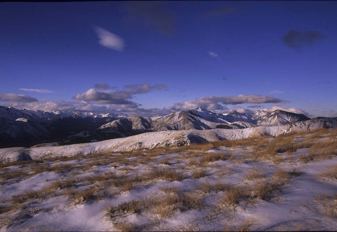
From the tablelands surrounding the riverbed, the ridges ascend sharply for the first 600m to gain the tops and my chosen destination, Mt Ben More, a rounded 1655m hill that has an exceptional view over both the Canterbury Plains and Alps. The only catch here is that the summit lies almost 5km along the ridge to the east, yet it is easy travel as the approach gains just 800m over that distance. With a strong sou’west wind at my back I could romp along the open tops in good time, encountering snow about half way up, but still keeping the pace on over the soft surface.
I arrived at the summit mound where a lonely radio hut keeps vigil, staring vacantly over the plains and far away Christchurch. Thick snow lay around the hut and it was bitterly cold so I sheltered in the lee of the tiny building, pulled on a hat and gloves and ate a few sandwiches. My first inkling that conditions were changing was as I peered around the edge of the hut at the strongly gusting wind, racing in unobstructed from the distant Southern Alps.
A deep trench-like saddle lies just south of Ben More and this needs to be crossed to reach the parallel ridgeline which I planned to traverse back to the Lyndon Road. The wind was fierce, but not unmanageable as I began the descent over steep icy rocks into the saddle where the conditions were much less boisterous.
Climbing the other side I took advantage of the sheltering effect of rock outcrops and so walked blissfully unaware into one of the strongest winds I have ever experienced in the mountains as I gained the ridge crest.
The upper Acheron Valley was constricting the gale and forcing it over the broad ridge so that it was flowing as a river of wind along the mountain. I entered the flow and immediately had to cant my body hard to the west to counter the wind’s strength.
The force was incredible and I needed to put all my strength into slowly gaining ground. Ahead, snow was being ripped from the summit over which I had to pass – not a pleasing thought. It was a battle of grim determination.
Thirty minutes later I was able to take shelter in rocks near the summit where small wind devils spiralled snow into the air, though thankfully the force of the wind was now broken and I could plan a quick exit from the exposed summit region down to the lower ridge.
Exhaustion was starting to creep in so I finished the rest of my food and made haste along the remaining four kilometres of ridge as the sun began to set over the Rakaia Valley
