


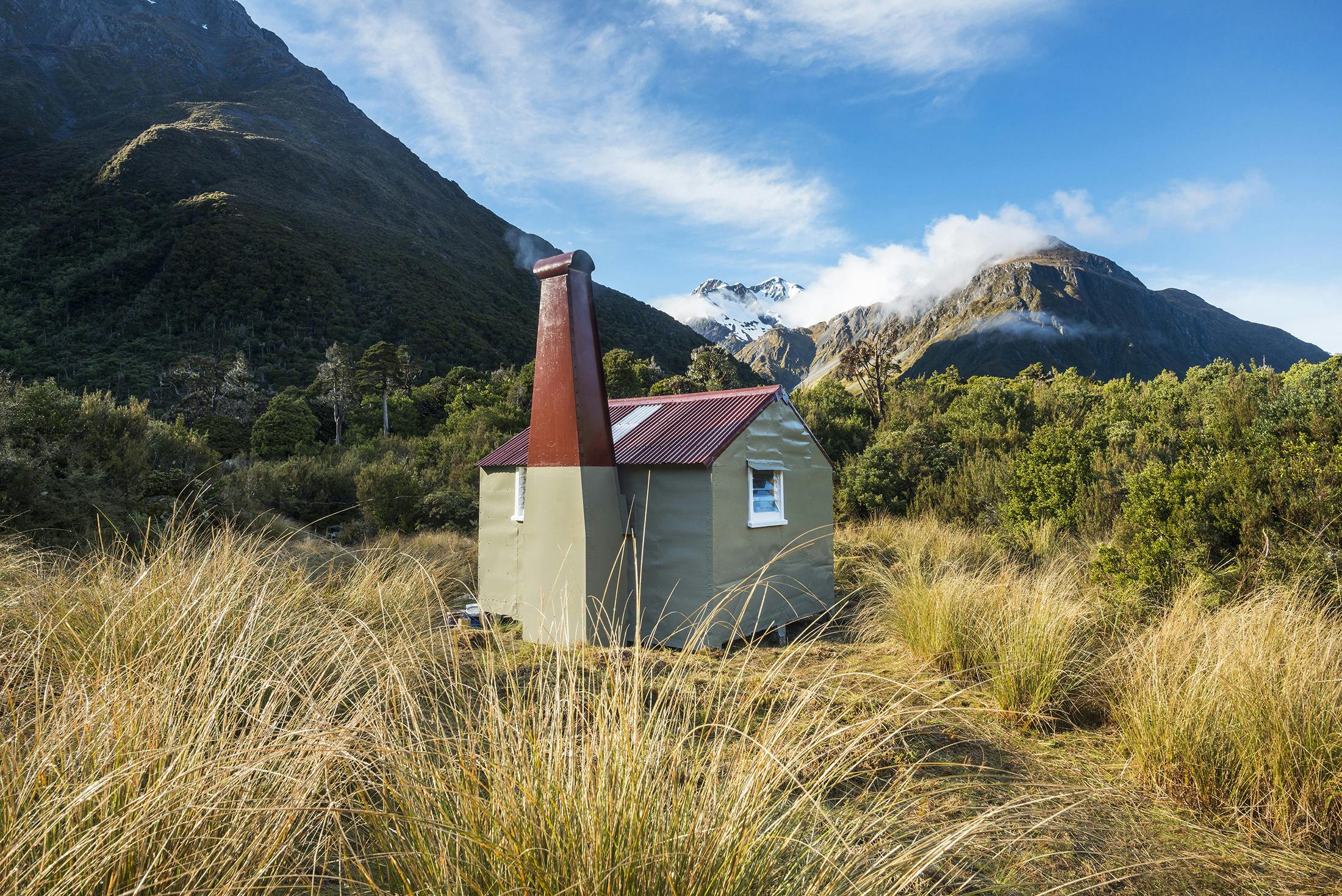

Mungo Hut, West Coast
Mungo Hut is not an easy place to get to, but once there you’re in the heart of some spectacular country.
The easiest way is up the Toaroha Valley and over Toaroha Saddle to Poet Hut. From Poet it’s a 3-4hr tramp up the Mungo River, followed by a short haul up a spur to the tussock clearing where Mungo sits. The upper Mungo River is one of the prettiest places in the Hokitika backcountry and it terminates in Hokitika Saddle. In early season, the couloir down from the saddle into Canterbury is usually chock full with snow and this makes for fast and easy travel to the east.
Originally built in 1962, this hut replaced an older 1950s Department of Internal Affairs hut. The hut received only sporadic maintenance until December 2015 when a team of four volunteers – John Visser, Geoff Spearpoint, John Charles and me – went in with builder Eric Saggers to give the hut a major overhaul. The roof was repaired and the hut properly sealed and lined.
Like many harder-to-reach places in the Southern Alps, it’s a place where it is easy to get trapped by the rivers if the weather turns bad. As a result of the 2015 restoration, the hut now has a small library of books to encourage trampers to stay put when the weather gets ugly.
- Distance
- 24.2km to Mungo Hut
- Total Ascent
- 2239m to Mungo Hu
- Grade
- Difficult
- Area
- West Coast
- Time
- Road end to Cedar Flats Hut, 3-4hr; Cedar Flats Hut to Top Toaroha Hut, 6-8hr; Top Toaroha to Poet Hut,4-5hr; Poet Hut to Mungo Hut,3-4hr
- Accom.
- Mungo Hut
- Access
- From the end of Middlebranch Road
- Map
- BV19
GPX File
- Mungo Hut.West Coast (gpx, 79 KB)
GPX File
- Your device does not support GPX files. Please try a different device.
