


- Area
- Te Kahui Kaupeka Conservation Park
- Distance
- 36.4km
- Total Ascent
- 711m
- Time
- 9-12hr
- Grade
- Difficult
- Accom.
- Growler Hut ($5, 8 bunks); Mistake Flats Hut ($5, 6 bunks); St Winifreds Hut (free, 9 bunks); Eric Bivouac (free, 2 bunks)
- Access
- From Rangitata Gorge Road at the Mesopotamia Station public car park
- Map
- BX17, BX1
- Links/Files
- Download the route notes, map and gpx files
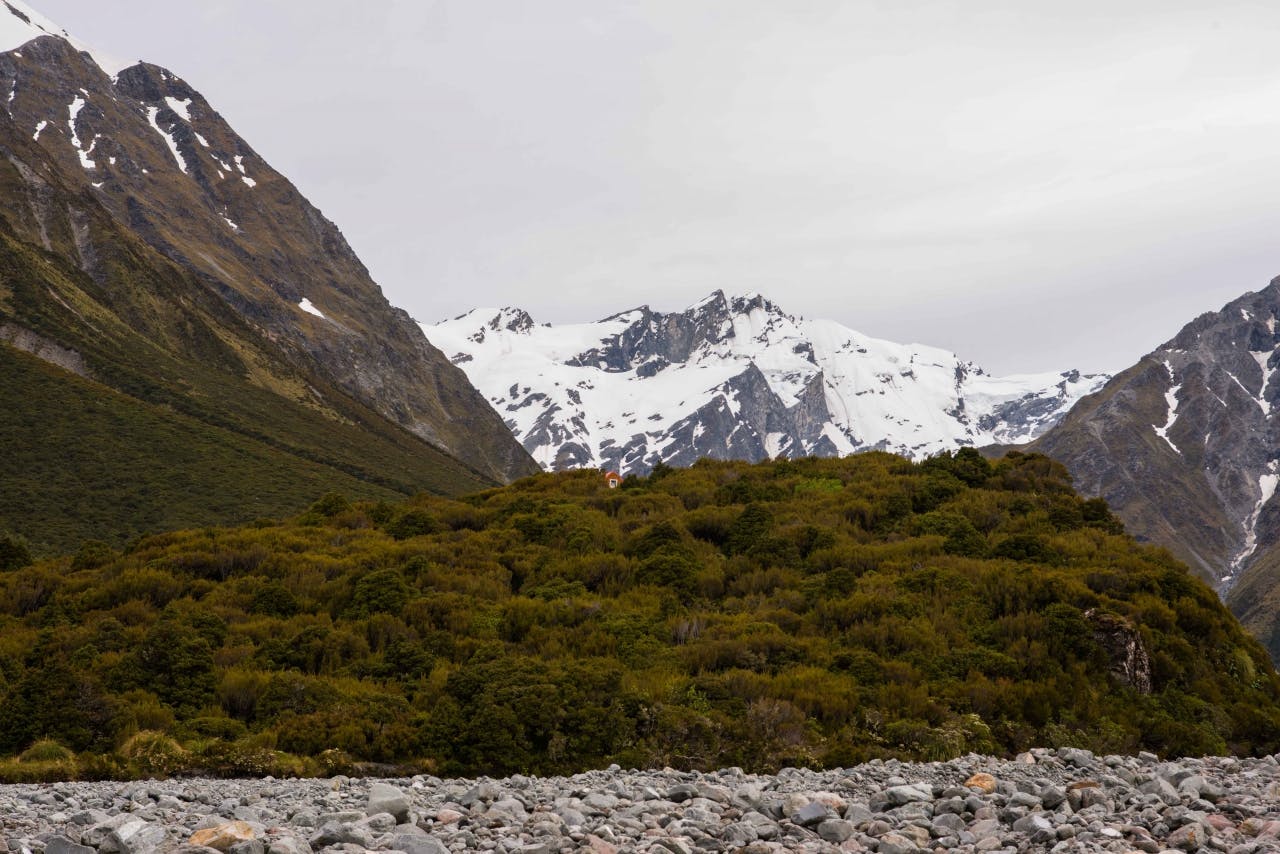
Eric Bivouac, Te Kahui Kaupeka Conservation Park
Hidden in the excoriated ravines of the upper Havelock River is the tiny Agony Island and Eric Bivouac.
The rustic four-bunk hut belongs to the Canterbury Mountaineering Club and was built some 80 years ago to facilitate climbing and exploration in this inhospitable fastness. Though it lies on Christchurch’s back door, it may as well be deepest, darkest Africa when you consider the days of the year on which you may be fortunate enough to reach the ‘shores’ of the island.
There’s just one noun to describe the impediment to travel here – water, be it in frozen or liquid form. The bivvy lies near the head of the valley, nearly 40km from the last formed road, T, and though a 4WD trail penetrates the Havelock for much of this distance, that privilege too is at the whim of the river. The final 7km entails multiple fords of the Havelock, a section where the river even at low flow is boisterous and dangerous, guarded by rough terraces and swift tributaries.
Eric Bivouac’s history covers much of the endeavour and hardship endured by many of Canterbury’s foremost mountaineers and many of New Zealand’s greatest alpinists have cast their shadow over the lintel of the biv, including Sir Edmund Hillary.
For those unable to reach the island, numerous DOC huts dot the length of the Havelock.
